Rio Tinto (Gondomar)
Rio Tinto | |
|---|---|
.jpg) Train in Rio Tinto, Portugal | |
 Coat of arms | |
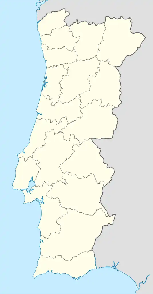 Rio Tinto Location in Portugal | |
| Coordinates: 41°10′41″N 8°33′36″W / 41.178°N 8.560°W | |
| Country | |
| Region | Norte |
| Metropolitan area | Porto |
| District | Porto |
| Municipality | Gondomar |
| Area | |
• Total | 9.38 km2 (3.62 sq mi) |
| Population (2011) | |
• Total | 50,713 |
| • Density | 5,400/km2 (14,000/sq mi) |
| Time zone | UTC+00:00 (WET) |
| • Summer (DST) | UTC+01:00 (WEST) |
| Postal code | 4435 |
| Website | www |
Rio Tinto (European Portuguese pronunciation: [ˈʁi.u ˈtĩtu]; "Colored River") is a Portuguese city and parish located in Gondomar Municipality, in northern Portugal. The population in 2011 was 50,713,[1] in an area of 9.38 km2.[2] Rio Tinto, which in Portuguese means red river, was elevated to city status in 1995, and the city of Rio Tinto includes two parishes (freguesias): Baguim do Monte and Rio Tinto, with a total of 65,000 inhabitants, being the most populous city in Gondomar municipality, and third largest in the Greater Porto agglomeration.
Rio Tinto lies just outside the city of Porto.
References
- ^ Instituto Nacional de Estatística (INE), Census 2011 results according to the 2013 administrative division of Portugal
- ^ "Áreas das freguesias, concelhos, distritos e país". Archived from the original on 2018-11-05. Retrieved 2018-11-05.
Parishes of Gondomar Municipality | ||
|---|---|---|