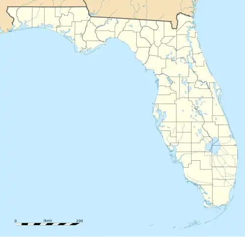
River Ridge, Florida
River Ridge, Florida | |
|---|---|
 River Ridge, Florida  River Ridge, Florida | |
| Coordinates: 28°16′02″N 82°37′29″W / 28.26722°N 82.62472°W | |
| Country | United States |
| State | Florida |
| County | Pasco |
| Area | |
• Total | 4.418 sq mi (11.44 km2) |
| • Land | 4.418 sq mi (11.44 km2) |
| • Water | 0 sq mi (0 km2) |
| Elevation | 36 ft (11 m) |
| Population | |
• Total | 4,702 |
| • Density | 1,100/sq mi (410/km2) |
| Time zone | UTC-5 (Eastern (EST)) |
| • Summer (DST) | UTC-4 (EDT) |
| Area code | 727 |
| GNIS feature ID | 2583379[2] |
River Ridge is an unincorporated community and census-designated place in Pasco County, Florida, United States. Its population was 4,702 as of the 2010 census.[1]
Geography
According to the U.S. Census Bureau, the community has an area of 4.418 square miles (11.44 km2), all of it land.[1]
It is east of New Port Richey, Florida and north east of Jay B. Starkey Wilderness Park. Located South of Florida State Road 52 inland from Hudson,[3] it is within the Tampa–St. Petersburg–Clearwater Metropolitan Statistical Area (MSA)[4] and the Southwest Florida Water Management District.
See also
References
- ^ a b c d "2010 Census Gazetteer Files - Places: Florida". U.S. Census Bureau. Retrieved March 26, 2017.
- ^ "River Ridge Census Designated Place". Geographic Names Information System. United States Geological Survey, United States Department of the Interior.
- ^ "The Hudson Landside Neighborhoods in Detail VII Meadow Oaks". www.hudsonfla.com. Retrieved February 4, 2022.
- ^ "Map of Tampa-St. Petersburg-Clearwater MSA" (PDF). United States Census Bureau, U.S. DEPARTMENT OF COMMERCE, Economics and Statistics Administration. Retrieved January 22, 2020.
