Rivervale, Indiana
Rivervale, Indiana | |
|---|---|
 Rivervale  Rivervale | |
| Coordinates: 38°46′08″N 86°23′53″W / 38.76889°N 86.39806°W | |
| Country | United States |
| State | Indiana |
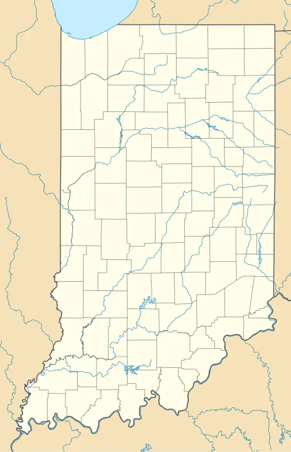
| County | Lawrence |
| Township | Bono |
| Elevation | 515 ft (157 m) |
| ZIP code | 47446 |
| FIPS code | 18-64890[2] |
| GNIS feature ID | 449719[1] |
Rivervale is an unincorporated community in Bono Township, Lawrence County, Indiana.
Rivervale was named from its setting on the East Fork of the White River.[3] It was originally named Scottville.[4]
References
- ^ a b U.S. Geological Survey Geographic Names Information System: Rivervale, Indiana
- ^ "U.S. Census website". United States Census Bureau. Retrieved January 31, 2008.
- ^ Baker, Ronald L. (October 1995). From Needmore to Prosperity: Hoosier Place Names in Folklore and History. Indiana University Press. p. 282. ISBN 978-0-253-32866-3.
...White River influenced its naming.
- ^ Grazer, Florence Elise (1957). "A study of place names in Lawrence County, Indiana". Electronic Theses and Dissertations. Indiana State University. p. 20. Retrieved August 19, 2025.
Municipalities and communities of Lawrence County, Indiana, United States | ||
|---|---|---|
| Cities | 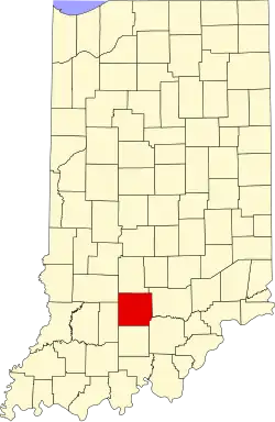 | |
| Town | ||
| Townships | ||
| CDPs | ||
| Other communities |
| |
| Former communities | ||