Rocca Pia
Rocca Pia | |
|---|---|
| Comune di Rocca Pia | |
.jpeg) | |
Location of Rocca Pia | |
 Rocca Pia Location of Rocca Pia in Italy 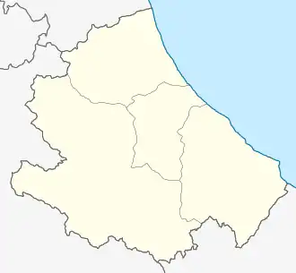 Rocca Pia Rocca Pia (Abruzzo) | |
| Coordinates: 41°56′4″N 13°58′40″E / 41.93444°N 13.97778°E | |
| Country | Italy |
| Region | Abruzzo |
| Province | L'Aquila (AQ) |
| Frazioni | Pescocostanzo, Pettorano sul Gizio, Rivisondoli, Scanno |
| Government | |
| • Mayor | Mauro Leone |
| Area | |
• Total | 44.96 km2 (17.36 sq mi) |
| Elevation | 1,050 m (3,440 ft) |
| Population (31 March 2017)[2] | |
• Total | 171 |
| • Density | 3.8/km2 (9.9/sq mi) |
| Demonym | Roccolani |
| Time zone | UTC+1 (CET) |
| • Summer (DST) | UTC+2 (CEST) |
| Postal code | 67030 |
| Dialing code | 0864 |
| ISTAT code | 066083 |
| Saint day | 19 March |
| Website | Official website |
Rocca Pia is a comune and town in the Province of L'Aquila in the Abruzzo region of Italy. Its territory extended up to the level of the Cinquemiglia Plain.[3]
References
- ^ "Superficie di Comuni Province e Regioni italiane al 9 ottobre 2011". Italian National Institute of Statistics. Retrieved 16 March 2019.
- ^ All demographics and other statistics from the Italian statistical institute (Istat)
- ^ "Comune di Rocca Pia"
External links