Roche Pourrie
| Roche Pourrie | |
|---|---|
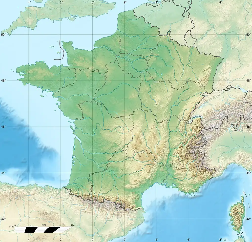
 Roche Pourrie Location in France | |
| Highest point | |
| Elevation | 2,037 m (6,683 ft) |
| Coordinates | 45°41′03″N 06°27′37″E / 45.68417°N 6.46028°E |
| Geography | |
| Location | Savoie, France |
| Parent range | Beaufortain Massif |
Roche Pourrie is a mountain of Savoie, France. It lies in the Beaufortain Massif range. It has an elevation of 2,037 metres above sea level. It has a T3 hiking trail.[1]
The mountain offers a hiking trail. At the start of the hiking trail, there is the Parking du Col des Cyclotouristes, a car park located in Albertville, France. Further up the mountain, there is the La Roche-Pourrie. Drinking water is provided at the Col des cyclos.[2]
References
- ^ PeakVisor. "La Roche-Pourrie". PeakVisor. Retrieved 2025-04-27.
- ^ "La Roche-Pourrie". reliefmaps.io. Retrieved 2025-04-27.