Rolling Acres, Indiana
Rolling Acres, Indiana | |
|---|---|
 Rolling Acres  Rolling Acres | |
| Coordinates: 38°04′00″N 87°16′15″W / 38.06667°N 87.27083°W | |
| Country | United States |
| State | Indiana |
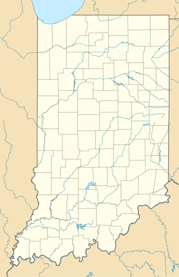
| County | Warrick |
| Township | Boon |
| Elevation | 472 ft (144 m) |
| Time zone | UTC-6 (Central (CST)) |
| • Summer (DST) | UTC-5 (CDT) |
| ZIP code | 47601 |
| Area codes | 812, 930 |
| FIPS code | 18-65610[2] |
| GNIS feature ID | 446751 |
Rolling Acres is an unincorporated community in Boon Township, Warrick County, in the U.S. state of Indiana.[3]
Geography
Rolling Acres is located at 38°04′00″N 87°16′15″W / 38.06667°N 87.27083°W.
References
- ^ "US Board on Geographic Names". United States Geological Survey. October 25, 2007. Retrieved January 31, 2008.
- ^ "U.S. Census website". United States Census Bureau. Retrieved January 31, 2008.
- ^ "Rolling Acres, Indiana". Geographic Names Information System. United States Geological Survey, United States Department of the Interior. Retrieved July 9, 2016.
Municipalities and communities of Warrick County, Indiana, United States | ||
|---|---|---|
| City |  | |
| Towns | ||
| Townships | ||
| CDP | ||
| Other communities |
| |
| Ghost towns | ||