Rorer, West Virginia
Rorer, West Virginia | |
|---|---|
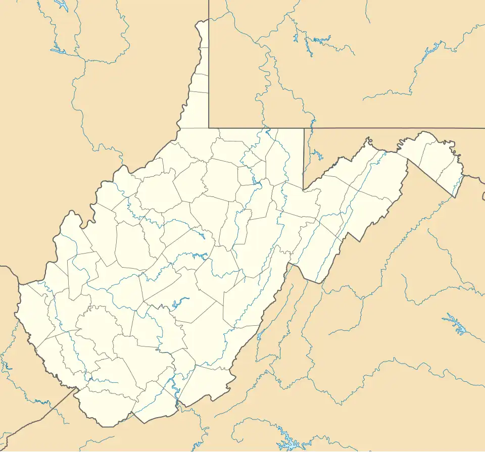 Rorer  Rorer | |
| Coordinates: 38°01′30″N 80°16′37″W / 38.02500°N 80.27694°W | |
| Country | United States |
| State | West Virginia |
| County | Greenbrier |
| Elevation | 1,939 ft (591 m) |
| Time zone | UTC-5 (Eastern (EST)) |
| • Summer (DST) | UTC-4 (EDT) |
| Area codes | 304 & 681 |
| GNIS feature ID | 1552729[1] |
Rorer is an unincorporated community in Greenbrier County, West Virginia, United States. Rorer is located on the Greenbrier River, 5 miles (8.0 km) northeast of Falling Spring.
Droop Mountain is immediately to the East on the Greenbrier River.
References
- ^ "US Board on Geographic Names". United States Geological Survey. October 25, 2007. Retrieved January 31, 2008.
