Roseira
Roseira | |
|---|---|
 Flag  Coat of arms | |
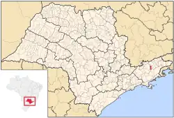 Location in São Paulo state | |
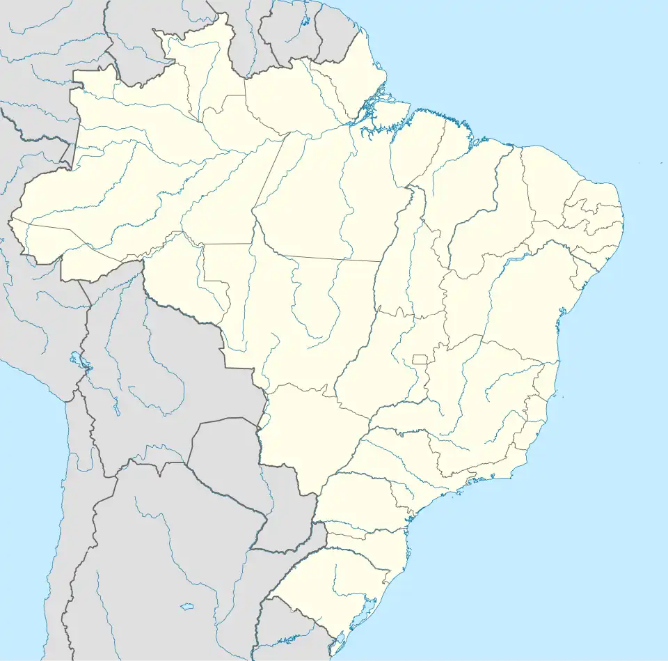 Roseira Location in Brazil | |
| Coordinates: 22°53′53″S 45°18′19″W / 22.89806°S 45.30528°W | |
| Country | |
| Region | Southeast Brazil |
| State | São Paulo |
| Metropolitan Region | Vale do Paraíba e Litoral Norte |
| Area | |
• Total | 130.65 km2 (50.44 sq mi) |
| Population (2020 [1]) | |
• Total | 10,801 |
| • Density | 83/km2 (210/sq mi) |
| Time zone | UTC−3 (BRT) |
Roseira is a municipality in the state of São Paulo in Brazil. It is part of the Metropolitan Region of Vale do Paraíba e Litoral Norte.[2] The population is 10,801 (2020 est.) in an area of 130.65 km2.[3] The elevation is 551 m.
Media
In telecommunications, the city was served by Companhia Telefônica Brasileira until 1973, when it began to be served by Telecomunicações de São Paulo.[4] In July 1998, this company was acquired by Telefónica, which adopted the Vivo brand in 2012.[5]
The company is currently an operator of cell phones, fixed lines, internet (fiber optics/4G) and television (satellite and cable).[5]
See also
References
- ^ IBGE 2020
- ^ Assembleia Legislativa do Estado de São Paulo, Lei Complementar Nº 1.166
- ^ Instituto Brasileiro de Geografia e Estatística
- ^ "Creation of Telesp - April 12, 1973". www.imprensaoficial.com.br (in Portuguese). Retrieved 2024-05-27.
- ^ a b "Our History - Telefônica RI". Telefônica. Retrieved 2024-05-27.