Rosnel, Ontario
Rosnel | |
|---|---|
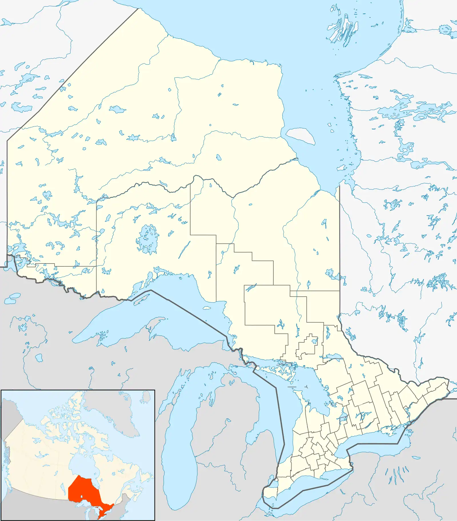 Rosnel Location of Rosnel in Ontario | |
| Coordinates: 50°09′42″N 91°35′33″W / 50.16167°N 91.59250°W | |
| Country | Canada |
| Province | Ontario |
| Region | Northwestern Ontario |
| District | Kenora |
| Part | Kenora, Unorganized |
| Elevation | 371 m (1,217 ft) |
| Time zone | UTC-6 (Central Time Zone) |
| • Summer (DST) | UTC-5 (Central Time Zone) |
| Postal code FSA | P0T |
| Area code | 807 |
Rosnel is a railway point and unincorporated place on the south side of Botsford Lake on the Marchington River in Unorganized Kenora District in northwestern Ontario, Canada.[1]
It lies on the Canadian National Railway transcontinental main line,[2] between Superior Junction to the west and McDougall Mills to the east, has a passing track, and is passed but not served by Via Rail transcontinental Canadian trains.
References
- ^ "Rosnel". Geographical Names Data Base. Natural Resources Canada. Retrieved 2011-07-21.
- ^ Map 13 (PDF) (Map). 1 : 1,600,000. Official road map of Ontario. Ministry of Transportation of Ontario. 2010-01-01. Retrieved 2011-07-21.