Roswell, Idaho
Roswell, Idaho | |
|---|---|
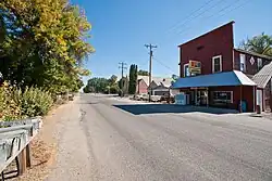 State Highway 18 through Roswell | |
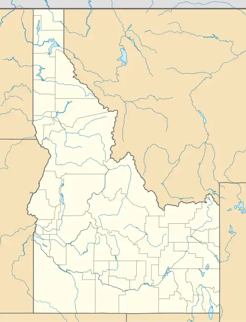 Roswell, Idaho Location within the state of Idaho  Roswell, Idaho Roswell, Idaho (the United States) | |
| Coordinates: 43°44′57″N 116°57′43″W / 43.74917°N 116.96194°W | |
| Country | United States |
| State | Idaho |
| County | Canyon |
| Elevation | 2,264 ft (690 m) |
| Time zone | UTC-7 (Mountain (MST)) |
| • Summer (DST) | UTC-6 (MDT) |
| ZIP codes | 83660 |
| Area codes | 208, 986 |
| GNIS feature ID | 400062[1] |
Roswell is an unincorporated community in Canyon County in the U.S. state of Idaho.[1]
Roswell is located 2 mi (3.2 km) south of Parma.[2] Founded in 1889, it was named by and for an early settler and school teacher who dreamed of founding a town in that spot.[1]
Roswell Grade School was added to the National Register of Historic Places in 1982.[3]
Gallery
-
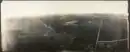 Hurtt Ranch in 1909
 -
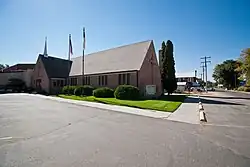 Sterry Memorial Presbyterian Church
 -
.jpg) Roswell Grade School
Roswell Grade School
References
- ^ a b c d U.S. Geological Survey Geographic Names Information System: Roswell, Idaho
- ^ "Roswell, Idaho - Other Nearby Communities". RoadsideThoughts. Retrieved April 22, 2017.
- ^ "NPGallery Asset Detail".
Municipalities and communities of Canyon County, Idaho, United States | ||
|---|---|---|
| Cities | 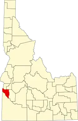 | |
| Unincorporated communities | ||
| Footnotes | ‡This populated place also has portions in an adjacent county or counties | |