Route 8 (Paraguay)
 | |
|---|---|
| Ruta nacional PY08 | |
| Dr. Blas Garay | |
 PY08 highlighted in red. | |
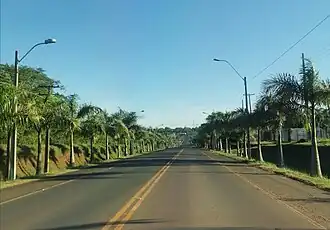 PY08 near the city of Caazapá. | |
| Route information | |
| Length | 320 km (200 mi) |
| Major junctions | |
| North end | San Estanislao |
| |
| South end | Coronel Bogado |
| Location | |
| Country | Paraguay |
| Highway system | |
National Route 8 (officially, Ruta Nacional Número 8 "Dr. Blas Garay", simply known as Ruta Ocho) is a highway in Paraguay, which runs from Bella Vista Norte to Coronel Bogado. It mainly connects the north and the south regions of Eastern Paraguay. It crosses seven departments and has a total length of 634 kilometres (394 miles).
Distances, cities and towns
The following table shows the distances traversed by National Route 8 in each different department, showing cities and towns that it passes by (or near).
| Km | City | Department | Junctions |
|---|---|---|---|
| 0 | Bella Vista Norte | Amambay | MS-384 (Brazil) |
| 76 | San Vicente | Amambay | |
| 115 | Yby Yaú | Concepción | |
| 155 | Azotey | Concepción | |
| 213 | Santa Rosa del Aguaray | San Pedro | |
| 300 | San Estanislao | San Pedro | |
| 356 | Simón Bolívar | Caaguazú | Route 21 |
| 406 | Coronel Oviedo | Caaguazú | |
| 438 | Mbocayaty | Guairá | |
| 443 | Villarrica | Guairá | |
| 472 | Ñumí | Guairá | Route 18 |
| 499 | Caazapá | Caazapá | |
| 570 | Yuty | Caazapá | |
| 583 | Leandro Oviedo | Itapúa | |
| 597 | San Pedro del Paraná | Itapúa | |
| 607 | General Artigas | Itapúa | |
| 634 | Coronel Bogado | Itapúa |
