Rubicon Peak
| Rubicon Peak | |
|---|---|
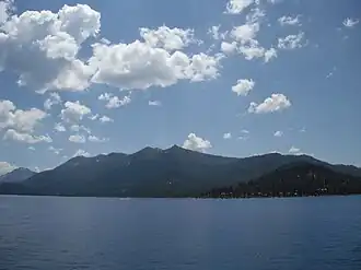 Rubicon Bay and Peak from Lake Tahoe | |
| Highest point | |
| Elevation | 9,187 ft (2,800 m) NAVD 88[1] |
| Listing | Tahoe OGUL Emblem Peak[2] |
| Coordinates | 38°59′19″N 120°08′00″W / 38.98861°N 120.13333°W[3] |
| Geography | |
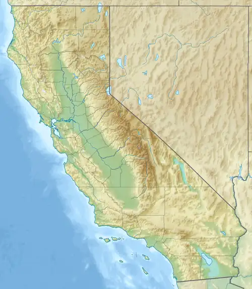 Rubicon Peak Location in California | |
| Location | El Dorado County, California, U.S. |
| Parent range | Sierra Nevada |
| Climbing | |
| Easiest route | Scramble, class 2[2] |
Rubicon Peak is a mountain in the Sierra Nevada mountain range to the west of Lake Tahoe in the Desolation Wilderness in El Dorado County, California.
References
- ^ "Rubicon Peak, California". Peakbagger.com. Retrieved August 16, 2009.
- ^ a b "Tahoe OGUL Peaks List". Retrieved November 7, 2021.
- ^ "Rubicon Peak". Geographic Names Information System. United States Geological Survey, United States Department of the Interior. Retrieved March 1, 2024.
External links
- "Rubicon Peak". SummitPost.org. Retrieved December 21, 2012.