Runcton Holme
| Runcton Holme | |
|---|---|
 St James, Runcton Holme | |
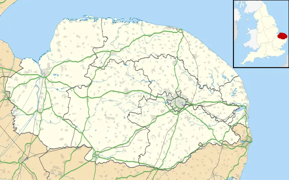 Runcton Holme Location within Norfolk | |
| Area | 13.89 km2 (5.36 sq mi) |
| Population | 657 (2011) |
| • Density | 47/km2 (120/sq mi) |
| OS grid reference | TF618089 |
| Civil parish |
|
| District | |
| Shire county | |
| Region | |
| Country | England |
| Sovereign state | United Kingdom |
| Post town | KING'S LYNN |
| Postcode district | PE33 |
| Police | Norfolk |
| Fire | Norfolk |
| Ambulance | East of England |
Runcton Holme is a village and civil parish in the English county of Norfolk. It covers an area of 13.89 km2 (5.36 sq mi) and had a population of 676 in 288 households at the 2001 census,[1] the population reducing to 657 at the 2011 census.[2] For the purposes of local government, it falls within the district of King's Lynn and West Norfolk. The civil parish includes South Runcton.
The villages name means 'Pole farm/settlement on an island', perhaps denoting a trackway or an enclosed settlement.
The parish church of St James, Runcton Holme, is a Grade I listed building.[3] St Andrew's in South Runcton is Grade II*;[4] completely rebuilt in 1838–9, it is now in the care of the Friends of Friendless Churches.[5]
See also
Notes
- ^ Census population and household counts for unparished urban areas and all parishes Archived 2017-02-11 at the Wayback Machine. Office for National Statistics & Norfolk County Council (2001). Retrieved 20 June 2009.
- ^ "Civil Parish population 2011". Retrieved 29 August 2015.
- ^ Historic England. "Church of St James (Grade I) (1077884)". National Heritage List for England.
- ^ Historic England. "Church of St Andrew (Grade II*) (1342289)". National Heritage List for England.
- ^ St Andrew's, South Runcton, Friends of Friendless Churches, archived from the original on 27 September 2023, retrieved 19 September 2023
External links
![]() Media related to Runcton Holme at Wikimedia Commons
Media related to Runcton Holme at Wikimedia Commons