Ruoščiai
Ruoščiai | |
|---|---|
Village | |
 | |
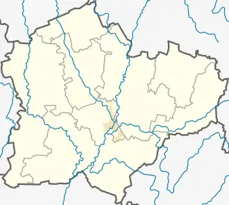 Ruoščiai Location of Ruoščiai 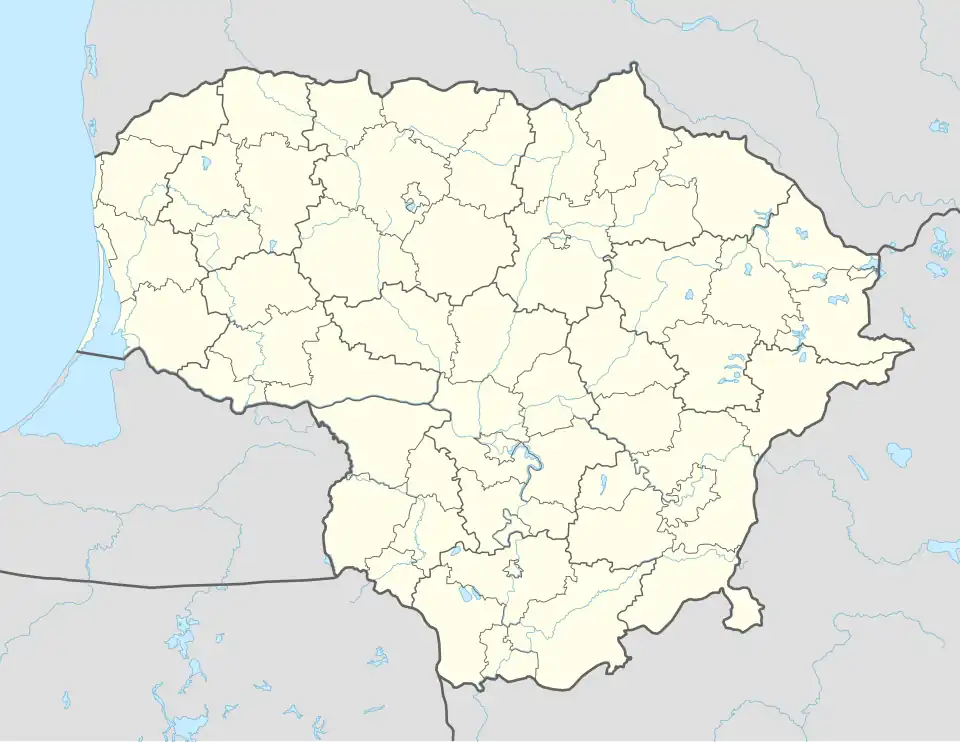 Ruoščiai Ruoščiai (Lithuania) | |
| Coordinates: 55°19′48″N 23°54′20″E / 55.33000°N 23.90556°E | |
| Country | |
| Ethnographic region | Aukštaitija |
| County | |
| Municipality | Kėdainiai district municipality |
| Eldership | Kėdainiai City Eldership |
| Population (2011) | |
• Total | 37 |
| Time zone | UTC+2 (EET) |
| • Summer (DST) | UTC+3 (EEST) |
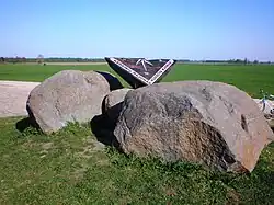
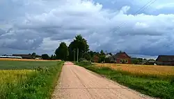
Ruoščiai is a small village in Kėdainiai district municipality, Lithuania. Located about 3 km from the town of Dotnuva, it had 37 residents at the 2011 census.[1] The settlement is known as the geographical center of Lithuania, which was calculated in 1995.[2]
Demography
|
| ||||||||||||||||||||||||||||||
| Source: 1902, 1923, 1959 & 1970, 1979, 1989, 2001, 2011 | |||||||||||||||||||||||||||||||
References
- ^ "2011 census". Statistikos Departamentas (Lithuania). Retrieved August 21, 2017.
- ^ "Lietuvos geografiniai ekstremumai" (PDF) (in Lithuanian). Nacionalinė žemės tarnyba prie ŽŪM.
External links
 Media related to Ruoščiai at Wikimedia Commons
| Cities | .svg.png) | |
|---|---|---|
| Villages | ||
| Hamlets | ||
| Former settlements | ||