Rutajärvi (Leivonmäki)
| Rutajärvi (Leivonmäki) | |
|---|---|
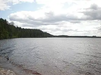 Rutajärvi at Leivonmäki | |
 Rutajärvi (Leivonmäki) | |
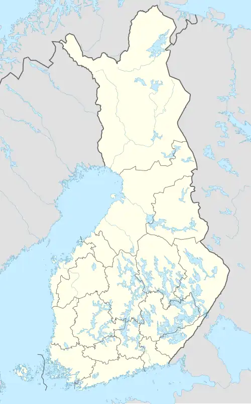
| Location | Joutsa |
| Coordinates | 61°56′59″N 26°04′21″E / 61.9497°N 26.0724°E |
| Lake type | Natural |
| Primary outflows | Rutajoki |
| Catchment area | Kymijoki |
| Basin countries | Finland |
| Surface area | 11.204 km2 (4.326 sq mi) |
| Average depth | 5.27 m (17.3 ft) |
| Max. depth | 22 m (72 ft) |
| Water volume | 0.059 km3 (0.014 cu mi) |
| Shore length1 | 65.98 km (41.00 mi) |
| Surface elevation | 123.1 m (404 ft) |
| Frozen | December-April |
| Islands | Korpisaari, Niinisaari, Isosaari |
| References | [1] |
| 1 Shore length is not a well-defined measure. | |
Rutajärvi is a medium-sized lake in Joutsa municipality, next to the Leivonmäki National Park in Central Finland region. The western shores of the lake are included to the park.[1]
References
- ^ a b Rutajärvi in the Jarviwiki Web Service. Retrieved 2014-03-01. (in English)
See also