Ryerson, Ontario
Ryerson | |
|---|---|
| Township of Ryerson | |
 | |
 Ryerson | |
| Coordinates: 45°35′13″N 79°30′40″W / 45.58694°N 79.51111°W | |
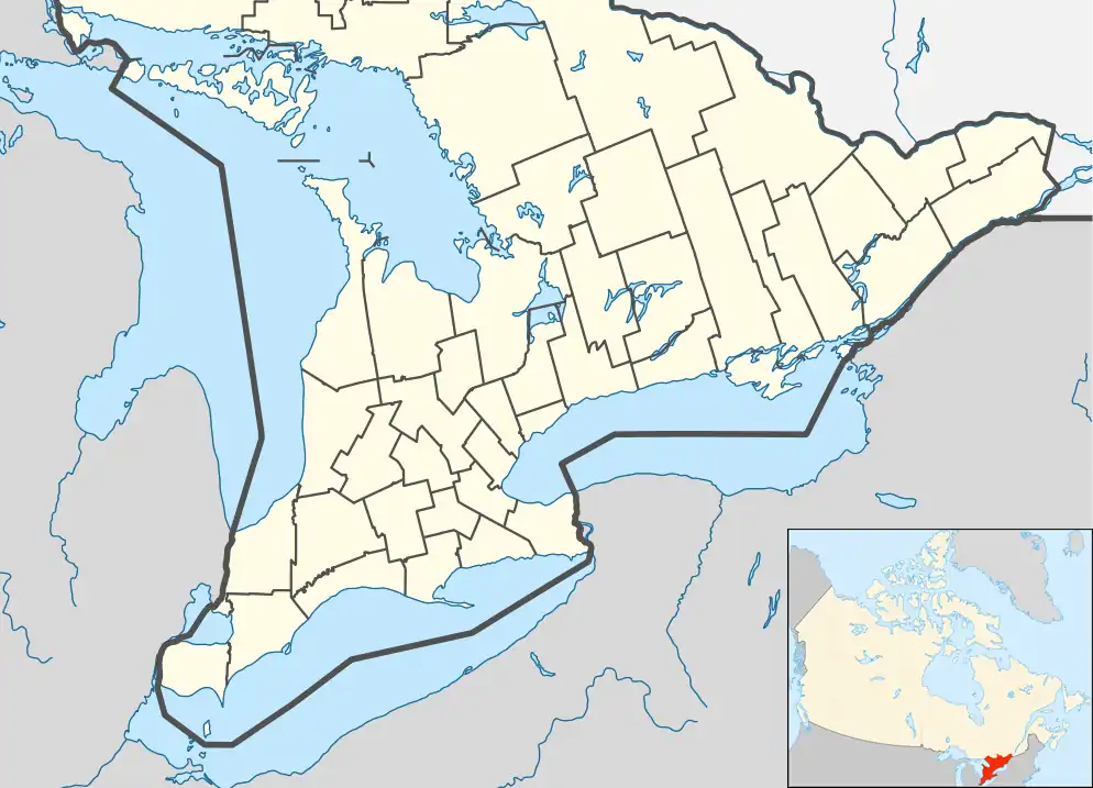
| Country | Canada |
| Province | Ontario |
| District | Parry Sound |
| Settled | 1870s |
| Incorporated | 1880 |
| Government | |
| • Type | Township |
| • Reeve | George Sterling |
| • Fed. riding | Parry Sound-Muskoka |
| • Prov. riding | Parry Sound—Muskoka |
| Area | |
| • Land | 185.93 km2 (71.79 sq mi) |
| Population (2021)[1] | |
• Total | 745 |
| • Density | 4.0/km2 (10/sq mi) |
| Time zone | UTC-5 (EST) |
| • Summer (DST) | UTC-4 (EDT) |
| Postal Code | P0A |
| Area codes | 705, 249 |
| Website | www |
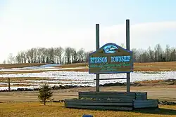
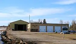
Ryerson is an incorporated township in the Almaguin Highlands region of Parry Sound District in northeastern Ontario, Canada. It had a population of 745 in the 2021 Canadian census. It was named after Egerton Ryerson, the Chief Superintendent of Education for Ontario from 1844 to 1876.
Communities
- Doe Lake
- Midlothian
- Rockwynn
- Starratt
- Wisemans Corners
- Bourdeau (on boundary with McMurrich/Monteith)
Demographics
In the 2021 Census of Population conducted by Statistics Canada, Ryerson had a population of 745 living in 344 of its 555 total private dwellings, a change of 15% from its 2016 population of 648. With a land area of 185.93 km2 (71.79 sq mi), it had a population density of 4.0/km2 (10.4/sq mi) in 2021.[1]
|
|
| |||||||||||||||||||||||||||||||||||||||||||||||||||||||||||||||||||||
| Source: Statistics Canada[1][2][3][4] | |||||||||||||||||||||||||||||||||||||||||||||||||||||||||||||||||||||||
Mother tongue (2021):[1]
- English as first language: 93.3%
- French as first language: 2.0%
- English and French as first languages: 0.7%
- Other as first language: 4.0%
See also
References
- ^ a b c d e "Ryerson, Ontario (Code 3549024) Census Profile". 2021 census. Government of Canada - Statistics Canada. Retrieved 2025-08-01.
- ^ 1996, 2001, 2006 census
- ^ Statistics Canada 2011 Census - Ryerson Census Profile
- ^ "1971 Census of Canada - Population Census Subdivisions (Historical)". Catalogue 92-702 Vol I, part 1 (Bulletin 1.1-2). Statistics Canada. July 1973.
- "Ryerson". Geographical Names Data Base. Natural Resources Canada. Retrieved 2011-07-06.
External links
Wikimedia Commons has media related to Ryerson, Ontario.
Places adjacent to Ryerson, Ontario | |
|---|---|
| Towns | 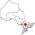 | |
|---|---|---|
| Townships | ||
| Villages | ||
| First Nations | ||
| Indian reserves | ||
| Local services boards | ||
| Unorganized areas | ||
| ||