São Marcos da Ataboeira
São Marcos da Ataboeira | |
|---|---|
 Coat of arms | |
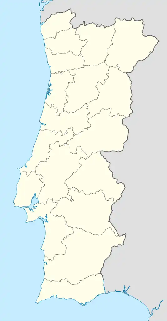 São Marcos da Ataboeira Location in Portugal | |
| Coordinates: 37°42′29″N 7°56′28″W / 37.708°N 7.941°W | |
| Country | |
| Region | Alentejo |
| Intermunic. comm. | Baixo Alentejo |
| District | Beja |
| Municipality | Castro Verde |
| Area | |
• Total | 104.13 km2 (40.20 sq mi) |
| Population (2011) | |
• Total | 338 |
| • Density | 3.2/km2 (8.4/sq mi) |
| Time zone | UTC+00:00 (WET) |
| • Summer (DST) | UTC+01:00 (WEST) |
São Marcos da Ataboeira is a Portuguese town/parish in the municipality of Castro Verde. The population in 2011 was 338,[1] in an area of 104.13 km2.[2] The village was integrated into the municipality of Castro Verde during the nineteenth century, and is situated 13 km north east from the municipal seat.
It is a territory where the pseudo-steppe is predominant, and grazing has an important role in preserving the traditional landscape. The area of the parish belongs to the SPA - Special Protection Area, for endangered species of steppe birds such as the great bustard and lesser kestrel. The SPA makes part of the Natura 2000 project of the European Union.
A few kilometres from the nearby town of Salto sits the chapel of 'Our Lady of Aracelis', a place of pilgrimage and festivities during the first weekend of September.
Photos
-
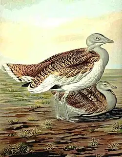 Great bustard
 -
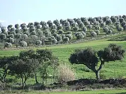 Holm oaks and olive trees
 -
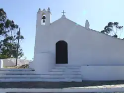 Chapel of Aracelis
References
- História e histórias-Castro Verde, Joaquim Boiça/Rui Mateus, Artinvento, Região de Turismo da Planicie Dourada/Câmara Municipal de Castro Verde; ISBN 978-972-97418-9-0
External links
- Town Hall official website- (Portuguese: Use Google Translate to convert to other languages)
- List of birds of Portugal