Sæbøvik
Sæbøvik | |
|---|---|
Village | |
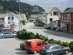 View of the village | |
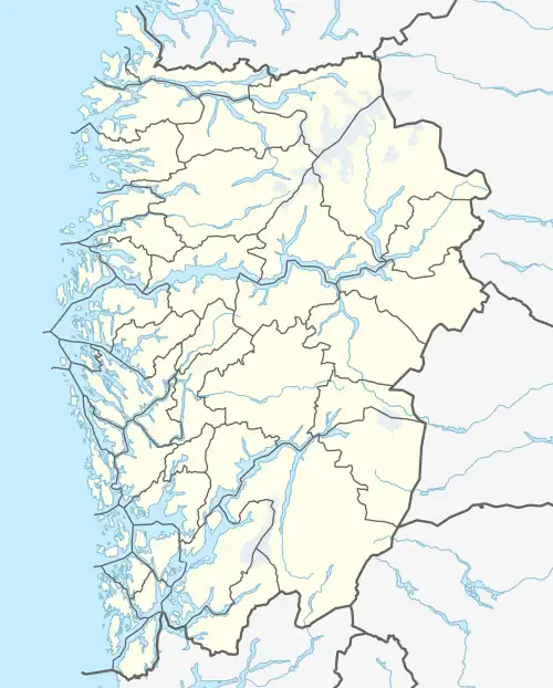 Sæbøvik Location of the village  Sæbøvik Sæbøvik (Norway) | |
| Coordinates: 59°47′38″N 05°42′34″E / 59.79389°N 5.70944°E | |
| Country | Norway |
| Region | Western Norway |
| County | Vestland |
| District | Sunnhordland |
| Municipality | Kvinnherad |
| Area | |
• Total | 0.64 km2 (0.25 sq mi) |
| Elevation | 4 m (13 ft) |
| Population (2019)[1] | |
• Total | 492 |
| • Density | 769/km2 (1,990/sq mi) |
| Time zone | UTC+01:00 (CET) |
| • Summer (DST) | UTC+02:00 (CEST) |
| Post Code | 5454 Sæbøvik |
Sæbøvik is a village in Kvinnherad municipality in Vestland county, Norway. The village is located on the narrow, western part of the island of Halsnøya, about 6 kilometres (3.7 mi) west of the village of Høylandsbygd and immediately east of the village of Eidsvik. The village is located at the southern end of the Halsnøy Tunnel.[3]
The 0.64-square-kilometre (160-acre) village has a population (2019) of 492 and a population density of 769 inhabitants per square kilometre (1,990/sq mi). This makes it the largest urban area on the island, just after the neighboring village of Eidsvik[1]
References
- ^ a b c Statistisk sentralbyrå (1 January 2019). "Urban settlements. Population and area, by municipality".
- ^ "Sæbøvik, Kvinnherad (Hordaland)" (in Norwegian). yr.no. Retrieved 17 March 2015.
- ^ Store norske leksikon. "Sæbøvik" (in Norwegian). Retrieved 17 March 2015.