Saint-François-de-la-Rivière-du-Sud
Saint-François-de-la-Rivière-du-Sud | |
|---|---|
.jpg) | |
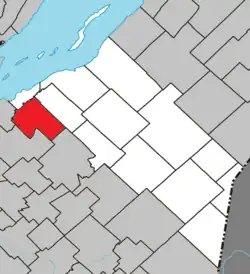 Location within La Matapédia RCM | |
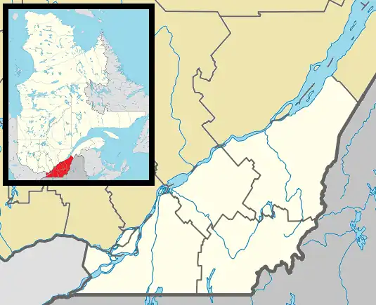 St-François-de-la-Rivière-du-Sud Location in province of Quebec | |
| Coordinates: 46°53′N 70°43′W / 46.883°N 70.717°W[1] | |
| Country | |
| Province | |
| Region | Chaudière-Appalaches |
| RCM | Montmagny |
| Constituted | July 1, 1855 |
| Government | |
| • Mayor | Frédéric Jean |
| • Fed. riding | Côte-du-Sud—Rivière-du-Loup—Kataskomiq—Témiscouata |
| • Prov. riding | Côte-du-Sud |
| Area | |
• Total | 96.98 km2 (37.44 sq mi) |
| • Land | 96.35 km2 (37.20 sq mi) |
| Population | |
• Total | 1,580 |
| • Density | 16.4/km2 (42/sq mi) |
| • Pop (2016-21) | |
| • Dwellings | 692 |
| Time zone | UTC−5 (EST) |
| • Summer (DST) | UTC−4 (EDT) |
| Postal code(s) | |
| Area codes | 418 and 581 |
| Highways | |
| Website | www |
Saint-François-de-la-Rivière-du-Sud (French pronunciation: [sɛ̃ fʁɑ̃swa də la ʁivjɛʁ dy syd]) is a municipality in Quebec, Canada.
See also
References
- ^ "Banque de noms de lieux du Québec: Reference number 148072". toponymie.gouv.qc.ca (in French). Commission de toponymie du Québec.
- ^ a b "Répertoire des municipalités: Geographic code 18060". www.mamh.gouv.qc.ca (in French). Ministère des Affaires municipales et de l'Habitation.
- ^ a b "Saint-François-de-la-Rivière-du-Sud (Code 2418060) Census Profile". 2021 census. Government of Canada - Statistics Canada. Retrieved 2025-04-29.
External links
 Media related to Saint-François-de-la-Rivière-du-Sud at Wikimedia Commons
- Official website

Adjacent Municipal Subdivisions | ||||||||||||||||
|---|---|---|---|---|---|---|---|---|---|---|---|---|---|---|---|---|
| ||||||||||||||||
| Cities & towns | |
|---|---|
| Municipalities | |
| Parishes | |
| |