Saint-Romphaire
Saint-Romphaire | |
|---|---|
Part of Bourgvallées | |
 | |
Location of Saint-Romphaire | |
 Saint-Romphaire  Saint-Romphaire | |
| Coordinates: 49°02′23″N 1°06′16″W / 49.0397°N 1.1044°W | |
| Country | France |
| Region | Normandy |
| Department | Manche |
| Arrondissement | Saint-Lô |
| Canton | Saint-Lô-2 |
| Commune | Bourgvallées |
Area 1 | 9.97 km2 (3.85 sq mi) |
| Population (2022)[1] | 771 |
| • Density | 77/km2 (200/sq mi) |
| Time zone | UTC+01:00 (CET) |
| • Summer (DST) | UTC+02:00 (CEST) |
| Postal code | 50750 |
| Elevation | 18–155 m (59–509 ft) (avg. 150 m or 490 ft) |
| 1 French Land Register data, which excludes lakes, ponds, glaciers > 1 km2 (0.386 sq mi or 247 acres) and river estuaries. | |
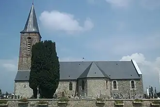
Saint-Romphaire (French pronunciation: [sɛ̃ ʁɔ̃fɛʁ]) is a former commune in the Manche department in Normandy in north-western France.[2] On 1 January 2016, it was merged into the new commune of Bourgvallées.[3] Its population was 771 in 2022.[1]
It is named after the 6th-century Saint Romphaire of Coutances.
See also
References
- ^ a b "Populations de référence 2022" [Reference populations 2022] (PDF) (in French). INSEE. December 2024.
- ^ Des villages de Cassini aux communes d'aujourd'hui: Commune data sheet Saint-Romphaire, EHESS (in French).
- ^ Arrêté préfectoral 9 December 2015 (in French)
Wikimedia Commons has media related to Saint-Romphaire.