Sainte-Anne-de-la-Rochelle
Sainte-Anne-de-la-Rochelle | |
|---|---|
.jpg) | |
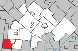 Location within Le Val-Saint-François RCM. | |
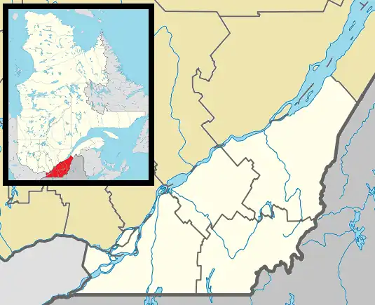 Ste-Anne-de- la-Rochelle Location in southern Quebec. | |
| Coordinates: 45°24′N 72°24′W / 45.400°N 72.400°W[1] | |
| Country | |
| Province | |
| Region | Estrie |
| RCM | Le Val-Saint-François |
| Constituted | July 1, 1855 |
| Government | |
| • Mayor | J.-André Bourassa |
| • Federal riding | Shefford |
| • Prov. riding | Orford |
| Area | |
• Total | 62.00 km2 (23.94 sq mi) |
| • Land | 61.86 km2 (23.88 sq mi) |
| Population | |
• Total | 625 |
| • Density | 10.1/km2 (26/sq mi) |
| • Pop 2016-2021 | |
| • Dwellings | 277 |
| Time zone | UTC−5 (EST) |
| • Summer (DST) | UTC−4 (EDT) |
| Postal code(s) | |
| Area codes | 450 and 579 |
| Highways | |
| Website | www.steanne delarochelle.ca |
Sainte-Anne-de-la-Rochelle (French pronunciation: [sɛ̃t an də la ʁɔʃɛl]) is a community in Quebec, Canada, situated within the Regional County Municipality of Le Val-Saint-François in the administrative region of Estrie.
It is served by Quebec Routes 243 and 220. Route 220 has its beginning point in Sainte-Anne-de-la-Rochelle.
Demographics
Population
|
|
|
Language
Mother tongue (2011)[3]
| Language | Population | Pct (%) |
|---|---|---|
| French only | 585 | 95.9% |
| English only | 25 | 4.1% |
See also
References
- ^ "Banque de noms de lieux du Québec: Reference number 56033". toponymie.gouv.qc.ca (in French). Commission de toponymie du Québec.
- ^ a b "Répertoire des municipalités: Geographic code 42050". www.mamh.gouv.qc.ca (in French). Ministère des Affaires municipales et de l'Habitation.
- ^ a b c "Profile table, Census Profile, 2021 Census of Population - Sainte-Anne-de-la-Rochelle, Municipalité (MÉ) [Census subdivision], Quebec". 9 February 2022.
- ^ Statistics Canada: 1996, 2001, 2006, 2011, 2016, 2021 census
External links
 Media related to Sainte-Anne-de-la-Rochelle at Wikimedia Commons
Adjacent Municipal Subdivisions | ||||||||||||||||
|---|---|---|---|---|---|---|---|---|---|---|---|---|---|---|---|---|
| ||||||||||||||||
| Cities & towns | |
|---|---|
| Municipalities | |
| Townships | |
| Villages | |
| |