Sainte-Séraphine
Sainte-Séraphine | |
|---|---|
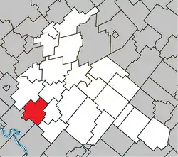 Location within Arthabaska RCM. | |
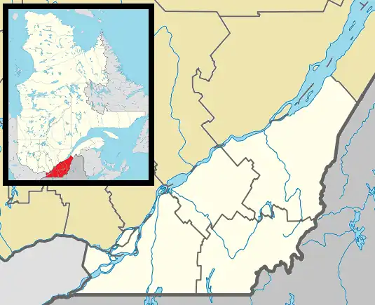 Sainte-Séraphine Location in southern Quebec. | |
| Coordinates: 45°55′N 72°11′W / 45.917°N 72.183°W[1] | |
| Country | |
| Province | |
| Region | Centre-du-Québec |
| RCM | Arthabaska |
| Constituted | March 7, 1931 |
| Government | |
| • Mayor | Monique Paquin |
| • Federal riding | Richmond—Arthabaska |
| • Prov. riding | Drummond–Bois-Francs |
| Area | |
• Total | 76.20 km2 (29.42 sq mi) |
| • Land | 75.86 km2 (29.29 sq mi) |
| Population | |
• Total | 441 |
| • Density | 5.8/km2 (15/sq mi) |
| • Pop 2016-2021 | |
| Postal code(s) | |
| Area code | 819 |
| Highways | No major routes |
| Website | www.mun sainteseraphine.ca |
Sainte-Séraphine (French pronunciation: [sɛ̃t seʁafin]) is a parish municipality located in the Centre-du-Québec region of Quebec, Canada.
Demographics
In the 2021 Census of Population conducted by Statistics Canada, Sainte-Séraphine had a population of 441 living in 176 of its 224 total private dwellings, a change of 24.2% from its 2016 population of 355. With a land area of 75.86 km2 (29.29 sq mi), it had a population density of 5.8/km2 (15.1/sq mi) in 2021.[4]
References
- ^ "Banque de noms de lieux du Québec: Reference number 56409". toponymie.gouv.qc.ca (in French). Commission de toponymie du Québec.
- ^ a b "Répertoire des municipalités: Geographic code 39105". www.mamh.gouv.qc.ca (in French). Ministère des Affaires municipales et de l'Habitation.
- ^ a b "Profile table, Census Profile, 2021 Census of Population - Sainte-Séraphine, Paroisse (Municipalité de) (PE) [Census subdivision], Quebec". 9 February 2022.
- ^ "Population and dwelling counts: Canada, provinces and territories, and census subdivisions (municipalities), Quebec". Statistics Canada. February 9, 2022. Retrieved August 29, 2022.
Places adjacent to Sainte-Séraphine | |
|---|---|
| Cities | |
|---|---|
| Municipalities | |
| Parishes | |
| Townships | |
| |