Salichauka Babai
Salichauka babai | |
|---|---|
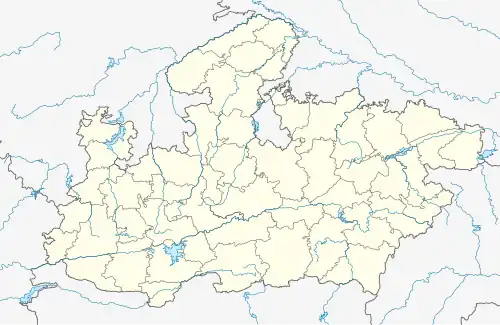 Salichauka babai Location in Madhya Pradesh, India 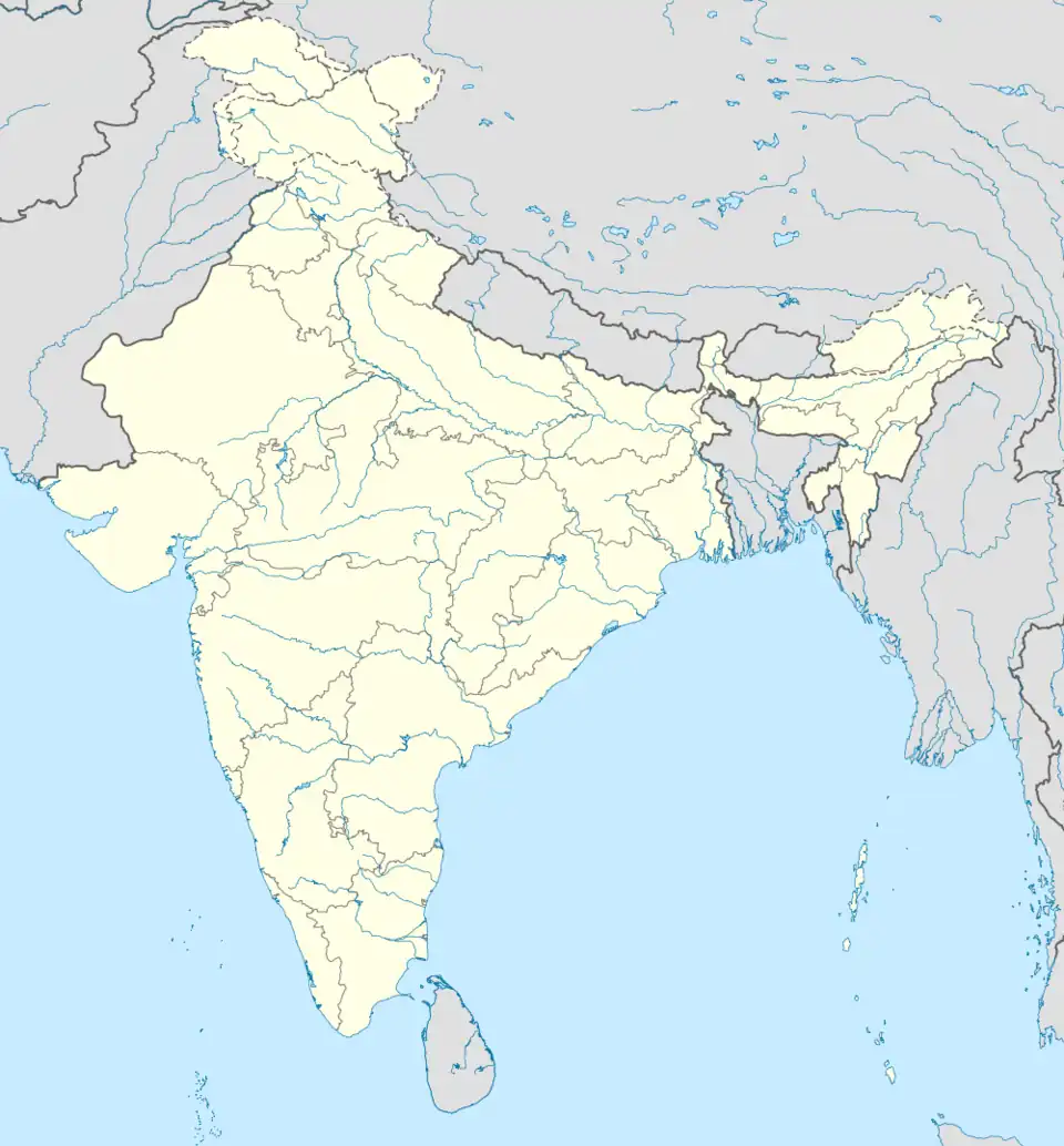 Salichauka babai Salichauka babai (India) | |
| Coordinates: 22°50′N 78°40′E / 22.83°N 78.67°E | |
| Country | |
| State | Madhya Pradesh |
| District | Narsinghpur District |
| Government | |
| • Type | Nagar panchayat |
| Population (2011) | |
• Total | 8,008 |
| Languages | |
| • Official | Hindi |
| Time zone | UTC+5:30 (IST) |
| ISO 3166 code | IN-MP |
| Vehicle registration | MP-49 |
Salichauka Babai is a town and a nagar panchayat in Narsinghpur district of madhya Pradesh in India.[1]
Geography
Babai is Located on 22°50′N 78°40′E / 22.83°N 78.67°E. This town is 65 km away from the district headquarter, it's situated on Jabalpur–Bhusaval section. The region is predominantly agrarian.[2]
Demographics
The Babai Kalan village has population of 8008 of which 4154 are males while 3854 are females as per Population Census 2011.literacy rate of Babai Kalan village was 79.99%[3]
Transportation
Babai is situated on Jabalpur–Bhusaval section rail line, with its own Railway Station which connects it to major cities of Madhya Pradesh.[4]
It is connected to Pipariya and Gadarwara through road.
References