Salkhad District
Salkhad District
منطقة صلخد | |
|---|---|
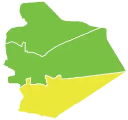 Map of Salkhad District within Suwayda Governorate | |
| Coordinates (Salkhad): 32°29′30″N 36°42′40″E / 32.4917°N 36.7111°E | |
| Country | |
| Governorate | Suwayda |
| Seat | Salkhad |
| Subdistricts | 5 nawāḥī |
| Area | |
• Total | 1,779.92 km2 (687.23 sq mi) |
| Population (2004)[1] | |
• Total | 60,375 |
| • Density | 34/km2 (88/sq mi) |
| Geocode | SY1302 |
Salkhad District (Arabic: منطقة صلخد, romanized: manṭiqat Ṣalḫad) is a district of the Suwayda Governorate in southern Syria. Administrative centre is the city of Salkhad. At the 2004 census, the district had a population of 60,375.[1]
Sub-districts
The district of Salkhad is divided into five sub-districts or nawāḥī (population as of 2004[1]):
| Code | Name | Area | Population |
|---|---|---|---|
| SY130200 | Salkhad Subdistrict | km2 | 24,045 |
| SY130201 | al-Qurayya Subdistrict | 130.56 km2 | 9,892 |
| SY130202 | al-Ghariyah Subdistrict | 86.48 km2 | 5,923 |
| SY130203 | Dhibin Subdistrict | 144.65 km2 | 6,900 |
| SY130204 | Malah Subdistrict | 972.25 km2 | 13,615 |
See also
References
- ^ a b c "General Census of Population and Housing 2004" (PDF) (in Arabic). Syrian Central Bureau of Statistics. Retrieved 15 October 2015. Also available in English: "2004 Census Data". UN OCHA. Retrieved 15 October 2015.
| |||||||||||||||
| |||||||||||||||
| |||||||||||||||