Sand Island (Multnomah County, Oregon)
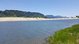 View of Sand Island, 2019 | |
 Sand Island | |
| Geography | |
|---|---|
| Location | Columbia River |
| Coordinates | 45°33′12″N 122°12′09″W / 45.5534°N 122.2024°W |
| Administration | |
United States | |
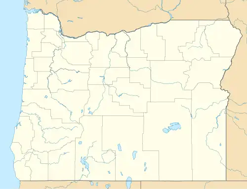
| State | Oregon |
Sand Island is a dune-covered island in the Columbia River,[1] and part of Rooster Rock State Park.[2]
-
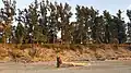
 Wooden structure on the island
 -
 2019
2019 -
 View of the mainland from the island
 -
 View of the island from Bridal Veil Overlook
See also
References
- ^ Romano, Craig (2019-01-25). "Get Outside! Rooster Rock State Park". Cascadia Magazine. Archived from the original on 2022-08-30. Retrieved 2019-08-31.
- ^ "Sand Island". Lower Columbia Estuary Partnership. Archived from the original on 2019-08-31. Retrieved 2019-08-31.