Sand Springs, Texas
Sand Springs, Texas | |
|---|---|
 Sand Springs  Sand Springs | |
| Coordinates: 32°16′57″N 101°21′03″W / 32.28250°N 101.35083°W | |
| Country | United States |
| State | Texas |
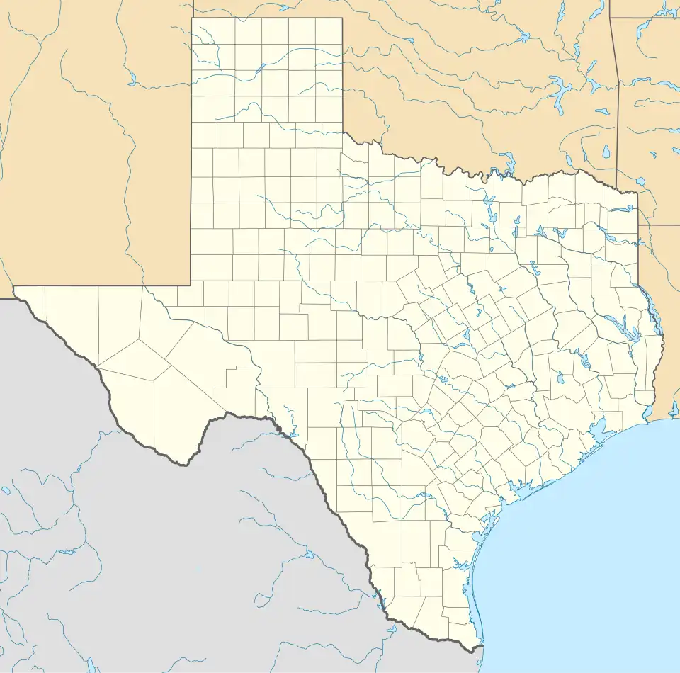
| County | Howard |
| Area | |
• Total | 2.570 sq mi (6.66 km2) |
| • Land | 2.570 sq mi (6.66 km2) |
| • Water | 0 sq mi (0 km2) |
| Elevation | 2,431 ft (741 m) |
| Population | |
• Total | 835 |
| • Density | 320/sq mi (130/km2) |
| Time zone | UTC-6 (Central (CST)) |
| • Summer (DST) | UTC-5 (CDT) |
| Area code | 432 |
| GNIS feature ID | 1346542[2] |
Sand Springs is an unincorporated community and census-designated place in Howard County, Texas, United States. Its population was 835 at the 2010 census.[1] Interstate 20 passes through the community.
Geography
According to the U.S. Census Bureau, the community has an area of 2.570 square miles (6.66 km2), all land.[1]
Demographics
| Census | Pop. | Note | %± |
|---|---|---|---|
| 2010 | 835 | — | |
| 2020 | 878 | 5.1% | |
| U.S. Decennial Census[3] 1850–1900[4] 1910[5] 1920[6] 1930[7] 1940[8] 1950[9] 1960[10] 1970[11] 1980[12] 1990[13] 2000[14] 2010[15] 2020[16] | |||
Sand Springs first appeared as a census designated place in the 2010 U.S. Census.[15]
| Race / Ethnicity (NH = Non-Hispanic) | Pop 2010[17] | Pop 2020[16] | % 2010 | % 2020 |
|---|---|---|---|---|
| White alone (NH) | 664 | 569 | 79.52% | 64.81% |
| Black or African American alone (NH) | 2 | 2 | 0.24% | 0.23% |
| Native American or Alaska Native alone (NH) | 6 | 7 | 0.72% | 0.80% |
| Asian alone (NH) | 3 | 4 | 0.36% | 0.46% |
| Pacific Islander alone (NH) | 0 | 0 | 0.00% | 0.00% |
| Other race alone (NH) | 0 | 5 | 0.00% | 0.57% |
| Mixed race or Multiracial (NH) | 6 | 34 | 0.72% | 3.87% |
| Hispanic or Latino (any race) | 154 | 257 | 18.44% | 29.27% |
| Total | 835 | 878 | 100.00% | 100.00% |
References
- ^ a b c d "2010 Census Gazetteer Files - Places: Texas". U.S. Census Bureau. Retrieved March 18, 2017.
- ^ "Sand Springs". Geographic Names Information System. United States Geological Survey, United States Department of the Interior.
- ^ "Decennial Census by Decade". US Census Bureau.
- ^ "1900 Census of Population - Population of Texas By Counties And Minor Civil Divisions" (PDF). United States Census Bureau.
- ^ "1910 Census of Population - Supplement for Texas" (PDF). United States Census Bureau.
- ^ "1920 Census of Population - Number of Inhabitants - Texas" (PDF). United States Census Bureau.
- ^ "1930 Census of Population - Number of Inhabitants - Texas" (PDF). United States Census Bureau.
- ^ "1940 Census of Population - Number of Inhabitants - Texas" (PDF). United States Census Bureau.
- ^ "1950 Census of Population - Number of Inhabitants - Texas" (PDF). United States Census Bureau.
- ^ "1960 Census of Population - Number of Inhabitants - Texas" (PDF). United States Census Bureau.
- ^ "1970 Census of Population - Number of Inhabitants - Texas" (PDF). United States Census Bureau.
- ^ "1980 Census of Population - Number of Inhabitants - Texas" (PDF). United States Census Bureau.
- ^ "1990 Census of Population - Population and Housing Unit Counts - Texas" (PDF). United States Census Bureau.
- ^ "2000 Census of Population - Population and Housing Unit Counts - Texas" (PDF). United States Census Bureau.
- ^ a b "2010 Census of Population - Population and Housing Unit Counts - Texas" (PDF). United States Census Bureau.
- ^ a b "P2 Hispanic or Latino, and Not Hispanic or Latino by Race – 2020: DEC Redistricting Data (PL 94-171) – Sand Springs CDP, Texas". United States Census Bureau.
- ^ "P2 Hispanic or Latino, and Not Hispanic or Latino by Race – 2010: DEC Redistricting Data (PL 94-171) – Sand Springs CDP, Texas". United States Census Bureau.
Municipalities and communities of Howard County, Texas, United States | ||
|---|---|---|
| Cities | 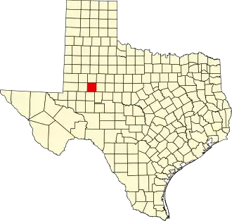 | |
| Town | ||
| CDP | ||
| Other communities | ||
| Ghost towns | ||