Santa Bárbara (Angra do Heroísmo)
Santa Bárbara | |
|---|---|
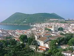
 The forested vista as seen from the Serra da Santa Bárbara | |
 Coat of arms | |
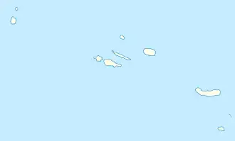 Santa Bárbara Location in the Azores 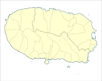 Santa Bárbara Santa Bárbara (Terceira) | |
| Coordinates: 38°41′49″N 27°20′33″W / 38.69694°N 27.34250°W | |
| Country | |
| Auton. region | Azores |
| Island | Terceira |
| Municipality | Angra do Heroísmo |
| Established | Settlement: fl. 1489 |
| Area | |
• Total | 16.40 km2 (6.33 sq mi) |
| Elevation | 172 m (564 ft) |
| Population (2011) | |
• Total | 1,274 |
| • Density | 78/km2 (200/sq mi) |
| Time zone | UTC−01:00 (AZOT) |
| • Summer (DST) | UTC+00:00 (AZOST) |
| Postal code | 9700-471 |
| Area code | 292 |
| Patron | Santa Bárbara |
Santa Bárbara is a parish in the municipality of Angra do Heroísmo on the island of Terceira in the Azores. The population in 2011 was 1,274,[1] in an area of 16.40 km2 (6.33 sq mi).[2] It contains the localities As Nove, Canada da Nossa Senhora da Ajuda, Pico das Seis, Pico dos Enos and Santa Bárbara.