Santa Rosa Hills (Inyo County)
| Santa Rosa Hills | |
|---|---|
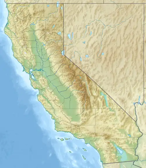 Santa Rosa Hills location of Santa Rosa Hills in California[1]  Santa Rosa Hills Santa Rosa Hills (the United States) | |
| Highest point | |
| Elevation | 1,746 m (5,728 ft) |
| Geography | |
| Country | United States |
| State | California |
| District | Inyo County |
| Range coordinates | 36°27′6.776″N 117°38′25.255″W / 36.45188222°N 117.64034861°W |
| Topo map | USGS Santa Rosa Flat |
The Santa Rosa Hills are a mountain range in the Saline Valley the northern Mojave Desert, in Inyo County, California.[1]
They are between the Inyo Mountains and the Nelson Range, west of Death Valley and in Death Valley National Park.
See also
References
- ^ a b "Santa Rosa Hills". Geographic Names Information System. United States Geological Survey, United States Department of the Interior. Retrieved 2009-05-04.