Santopadre
Santopadre | |
|---|---|
| Comune di Santopadre | |
Location of Santopadre | |
 Santopadre Location of Santopadre in Italy 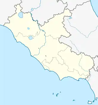 Santopadre Santopadre (Lazio) | |
| Coordinates: 41°36′N 13°38′E / 41.600°N 13.633°E | |
| Country | Italy |
| Region | Lazio |
| Province | Frosinone (FR) |
| Frazioni | Valle, Ciaiali, Collepizzuto, Madonna delle Fosse [1] |
| Government | |
| • Mayor | Giampiero Forte (since 2019)[2] |
| Area | |
• Total | 21.6 km2 (8.3 sq mi) |
| Elevation | 141 m (463 ft) |
| Population (April 2024)[4] | |
• Total | 1,168 |
| • Density | 54/km2 (140/sq mi) |
| Demonym | Santopadresi |
| Time zone | UTC+1 (CET) |
| • Summer (DST) | UTC+2 (CEST) |
| Postal code | 03030 |
| Dialing code | 0776 |
| Patron saint | San Folco |
| Saint day | May 22 |
Santopadre is a small town and comune in the province of Frosinone, Lazio region of Italy.
It served by its station on the Avezzano-Roccasecca railroad.
References
- ^ "SANTOPADRE". Dipartimento per gli affari interni e territoriali (in Italian). 26 September 2017. Retrieved 30 April 2024.
- ^ "Anagrafe degli Amministratori Locali e Regionali". amministratori.interno.gov.it. Retrieved 30 April 2024.
- ^ "Superficie di Comuni Province e Regioni italiane al 9 ottobre 2011". Italian National Institute of Statistics. Retrieved 16 March 2019.
- ^ "Bilancio demografico mensile". demo.istat.it. Retrieved 30 April 2024.