Sarıpolat, Malkara
Sarıpolat | |
|---|---|
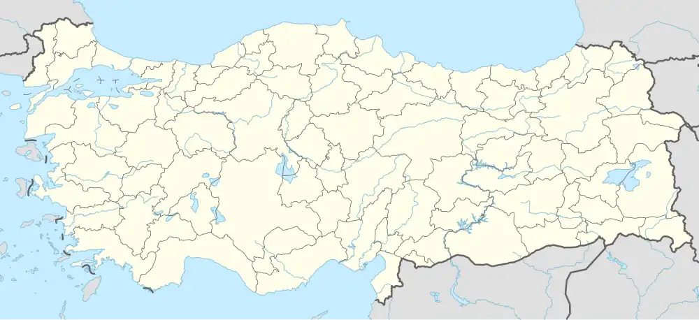 Sarıpolat Location in Turkey 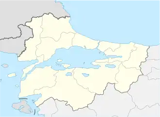 Sarıpolat Sarıpolat (Marmara) | |
| Coordinates: 40°50′38″N 26°46′19″E / 40.84389°N 26.77194°E | |
| Country | Turkey |
| Province | Tekirdağ |
| District | Malkara |
| Elevation | 156 m (512 ft) |
| Population (2022) | 195 |
| Time zone | UTC+3 (TRT) |
| Postal code | 59300 |
| Area code | 0282 |
Sarıpolat is a neighbourhood of the municipality and district of Malkara, Tekirdağ Province, Turkey.[1] Its population is 195 (2022).[2] It is situated in the eastern Thrace plains. The distance to Malkara is 12 kilometres (7.5 mi). The old name of this village is Teslim. It was a Bulgarian village during the Ottoman Empire era. But after the Second Balkan War the Bulgarian population was forced to leave the settlement.
References
- ^ Mahalle, Turkey Civil Administration Departments Inventory. Retrieved 19 September 2023.
- ^ "Address-based population registration system (ADNKS) results dated 31 December 2022, Favorite Reports" (XLS). TÜİK. Retrieved 19 September 2023.