Sarıveliler, Mut
Sarıveliler | |
|---|---|
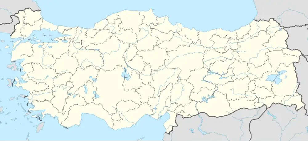 Sarıveliler Location in Turkey | |
| Coordinates: 36°32′N 33°28′E / 36.533°N 33.467°E | |
| Country | Turkey |
| Province | Mersin |
| District | Mut |
| Elevation | 140 m (460 ft) |
| Population (2022) | 363 |
| Time zone | UTC+3 (TRT) |
| Postal code | 33600 |
| Area code | 0324 |
Sarıveliler is a neighbourhood in the municipality and district of Mut, Mersin Province, Turkey.[1] Its population is 363 (2022).[2] It is situated on the west bank of Göksu River. Turkish state highway D.715 is 4 kilometres (2.5 mi) east of the village. Its distance to Mut is 13 kilometres (8.1 mi) and to Mersin is 150 kilometres (93 mi). Main economic activity is farming.
References
- ^ Mahalle, Turkey Civil Administration Departments Inventory. Retrieved 12 July 2023.
- ^ "Address-based population registration system (ADNKS) results dated 31 December 2022, Favorite Reports" (XLS). TÜİK. Retrieved 12 July 2023.