Sarangpur tehsil
Sarangpur tehsil | |
|---|---|
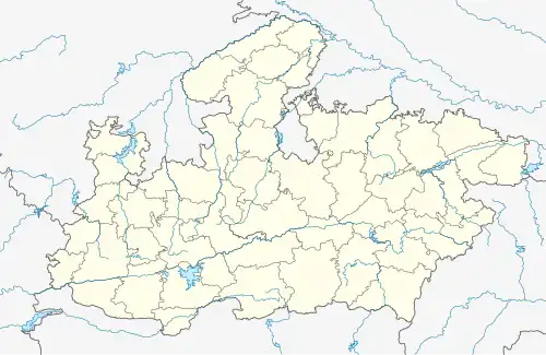 Sarangpur tehsil Location in Madhya Pradesh  Sarangpur tehsil Sarangpur tehsil (India) | |
| Coordinates: 23°34′N 76°28′E / 23.57°N 76.47°E | |
| Country | |
| State | Madhya Pradesh |
| District | Raisen district |
| Government | |
| • Type | Janpad Panchayat |
| • Body | Council |
| Languages | |
| • Official | Hindi |
| Time zone | UTC+5:30 (IST) |
| Postal code (PIN) | 465697 |
| ISO 3166 code | MP-IN |
Sarangpur tehsil is a tehsil in Rajgarh district, Madhya Pradesh, India. It is also a subdivision of the administrative and revenue division of bhopal district of Madhya Pradesh.[1]
Demographics
References
- ^ "Census of India 2001: Data from the 2001 Census, including cities, villages and towns (Provisional)". Census Commission of India. Archived from the original on 16 June 2004. Retrieved 10 August 2022.