Satawali
Satawali | |
|---|---|
Village ( Bazar Peth ) | |
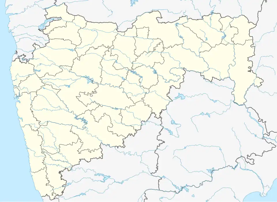 Satawali Location in Maharashtra, India | |
| Coordinates: 16°51′N 73°33′E / 16.85°N 73.55°E | |
| Country | |
| State | Maharashtra |
| District | Ratnagiri |
| Elevation | 166 m (545 ft) |
| Population (2001) | |
• Total | 12,278 |
| Languages | |
| • Official | Marathi |
| Time zone | UTC+5:30 (IST) |
Satawali is a census town in Lanja-Taluka Ratnagiri district in the Indian state of Maharashtra.
Satavali is a village about 12 miles up the Muchkundi Creek, surrounded by hills, 19 km from Bombay-Goa highway, in a valley with a river called Muchkundi.
Nearby cities are Lanja, Rajapur and Ratnagiri.
Geography
Satawali is located at coordinates: 16°45'53"N 73°27'22"[1] It has an average elevation of 166 metres (544 feet).
The village is in Taluka Lanja – Ratnagiri district. The national highway popularly known as Mumbai-Goa Highway passes through it. Nearest rail head is Adivali on Konkan Railway which is about 35 km away.
History
From the time of the Peshva up to 1 August 1879, Satwali was made a sub-division.
Demographics
Population is more than 12000.
Climate
The temperatures are often below 10 °C in winters. In summer temperatures jump up to 40 °C.
References
- ^ "Maps, Weather, and Airports for Lanja, India". fallingrain.com. Retrieved 27 May 2021.