Sathuvachari
Sathuvachari
Sathuvachari | |
|---|---|
Neighbourhood | |
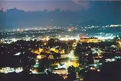 Sathuvachari after dusk | |
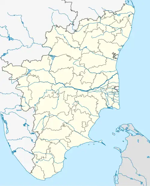 Sathuvachari Location in Tamil Nadu, India | |
| Coordinates: 12°56′36″N 79°09′55″E / 12.94333°N 79.16528°E | |
| Country | |
| State | Tamil Nadu |
| District | Vellore District |
| Talukas | Vellore |
| Government | |
| • Body | Vellore Municipal Corporation |
| Languages | |
| • Official | Tamil |
| Time zone | UTC+5:30 (IST) |
| PIN | 632009 |
| Telephone code | 91 416 |
| Vehicle registration | TN 23 |
| Lok Sabha constituency | Vellore |
| Vidhan Sabha constituency | Vellore |
| Civic agency | Vellore Municipal Corporation |
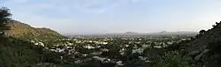
Sathuvachari is an area and Zone-II headquarters of Vellore Municipal Corporation. It is located in the east of Vellore city. It is situated in the bank of Palaar River.
Demographics
As of 2011 India census,[1] Sathuvachari had a population of above 1.5 lacs. Males constitute 50% of the population and females 50%. Sathuvachari has an average literacy rate of 79%, higher than the national average of 59.5%: male literacy is 84%, and female literacy is 75%. In Sathuvachari, 10% of the population is under 6 years of age. As per the religious census of 2011, Sathuvachari had 85.01% Hindus, 7.9% Muslims, 6.5% Christians, 0.03% Sikhs, 0.04% Buddhists, 0.18% Jains, 0.32% following other religions and 0.01% following no religion or did not indicate any religious preference.[2]
Historical significance
The Shiva Lingam of Jalakandeswarar temple was kept here , after the Muslim invaders , took over vellore fort.
References
- ^ "Census of India 2001: Data from the 2001 Census, including cities, villages and towns (Provisional)". Census Commission of India. Archived from the original on 16 June 2004. Retrieved 1 November 2008.
- ^ "Population By Religious Community - Tamil Nadu" (XLS). Office of The Registrar General and Census Commissioner, Ministry of Home Affairs, Government of India. 2011. Retrieved 13 September 2015.