Schrattenfluh
| Schrattenfluh | |
|---|---|
 | |
| Highest point | |
| Peak | Hengst |
| Elevation | 2,092 m (6,864 ft) |
| Prominence | 776 m (2,546 ft)[1] |
| Parent peak | Brienzer Rothorn |
| Coordinates | 46°50′03.7″N 7°57′27.8″E / 46.834361°N 7.957722°E |
| Geography | |
 Schrattenfluh Location in Switzerland | |
| Location | Lucerne, Switzerland |
| Parent range | Alps |
The Schrattenfluh (also spelled Schrattenflue) is a mountain of the Swiss Alps, located in the upper Emmental, in the canton of Lucerne. The Schrattenfluh is composed of several summits of which the highest (2,092 m (6,864 ft)) is named Hengst.
Pictures
-
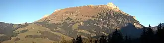
 Schrattenfluh northwest face : Strick, Hächlen, Hengst & Schybengütsch
 -
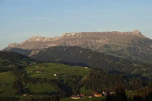
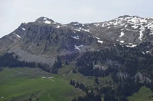
 Schrattenfluh northwest face : Hengst
 -
 Schrattenfluh southeast face : Schybengütsch & Türstenhäuptli
 -
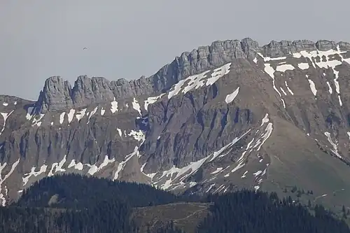
 Schrattenfluh south face : Schybengütsch, Achs & Böli
References
External links
 Media related to Schrattenfluh at Wikimedia Commons
- Schrattenfluh on Hikr