Sekule
Sekule | |
|---|---|
 | |
 Flag | |
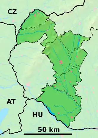 Sekule Location of Sekule in the Trnava Region  Sekule Location of Sekule in Slovakia | |
| Coordinates: 48°36′N 17°00′E / 48.60°N 17.00°E | |
| Country | |
| Region | |
| District | Senica District |
| First mentioned | 1402 |
| Area | |
• Total | 23.49 km2 (9.07 sq mi) |
| Elevation | 158 m (518 ft) |
| Population (2021)[3] | |
• Total | 1,735 |
| Time zone | UTC+1 (CET) |
| • Summer (DST) | UTC+2 (CEST) |
| Postal code | 908 80[2] |
| Area code | +421 34[2] |
| Car plate | SE |
| Website | obecsekule |
Sekule (Hungarian: Székelyfalva) is a village and municipality in Senica District in the Trnava Region of western Slovakia.
Etymology
The name is derived from the ethnonym Székelys (Slovak: Sikuli), one of the tribes who guarded the frontier area.[4]
History
In historical records the village was first mentioned in 1402.
Geography
The municipality lies at an altitude of 153 metres and covers an area of 23.492 km². It has a population of about 1,633 people.
References
- ^ "Hustota obyvateľstva - obce [om7014rr_ukaz: Rozloha (Štvorcový meter)]". www.statistics.sk (in Slovak). Statistical Office of the Slovak Republic. 2022-03-31. Retrieved 2022-03-31.
- ^ a b c "Základná charakteristika". www.statistics.sk (in Slovak). Statistical Office of the Slovak Republic. 2015-04-17. Retrieved 2022-03-31.
- ^ "Počet obyvateľov podľa pohlavia - obce (ročne)". www.statistics.sk (in Slovak). Statistical Office of the Slovak Republic. 2022-03-31. Retrieved 2022-03-31.
- ^ Závodný, Andrej (2007). "O názvoch riek a potokov na Záhorí" [About the river and creek names in Záhorie]. Záhorie (in Slovak) (1). SKalica: Záhorské múzeum v Skalici. Archived from the original on 2017-05-10.
External links
![]() Media related to Sekule at Wikimedia Commons
Media related to Sekule at Wikimedia Commons
Municipalities of Senica District | ||
|---|---|---|