Sembakung River
| Sembakung River Sungai Sembakung, Sungai Sembakun, Simbakung, Soengai Sembakoeng | |
|---|---|
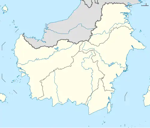 River mouth location 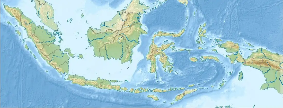 Sembakung River (Indonesia) | |
| Location | |
| Country | Malaysian and Indonesia |
| Physical characteristics | |
| Source | |
| • location | Sabah, North Kalimantan |
| Length | 322 km (200 mi)[1] |
| Basin size | 9,518.08 km2 (3,674.95 sq mi)[1] |
| Discharge | |
| • location | Near mouth |
| • average | (2008–2019)627.6 m3/s (22,160 cu ft/s)[1] |
| • minimum | 62.11 m3/s (2,193 cu ft/s)[1] |
| • maximum | 904.62 m3/s (31,946 cu ft/s)[1] |
| Basin features | |
| Progression | Sulawesi Sea |
| River system | Sembakung River |
The Sembakung River is a river in Borneo that flows from Sabah, Malaysia to North Kalimantan, Indonesia, about 1600 km northeast of the capital Jakarta.[2][3]
Geography
The 322 kilometers long river flows in the northeastern area of Borneo island with predominantly tropical rainforest climate (designated as Af in the Köppen-Geiger climate classification).[4] The annual average temperature in the area is 24 °C. The warmest month is August, when the average temperature is around 26 °C, and the coldest is January, at 22 °C.[5] The average annual rainfall is 4020 mm. The wettest month is December, with an average of 393 mm rainfall, and the driest is June, with 251 mm rainfall.[6]
See also
References
- ^ a b c d e "Dokumen File - Direktorat Jenderal Sumber Daya Air".
- ^ Rand McNally, The New International Atlas, 1993.
- ^ Sungai Sembakung at Geonames.org (cc-by); Last updated 17 January 2012; Database dump downloaded 27 November 2015
- ^ Peel, M C; Finlayson, B L; McMahon, T A (2007). "Updated world map of the Köppen-Geiger climate classification". Hydrology and Earth System Sciences. 11 (5): 1633–1644. Bibcode:2007HESS...11.1633P. doi:10.5194/hess-11-1633-2007.
- ^ "NASA Earth Observations Data Set Index". NASA. 30 January 2016.
- ^ "NASA Earth Observations: Rainfall (1 month – TRMM)". NASA/Tropical Rainfall Monitoring Mission. 30 January 2016.