Sesquilé
Sesquilé | |
|---|---|
Municipality and town | |
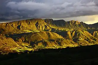 View of Sesquilé | |
.svg.png) Flag  Seal | |
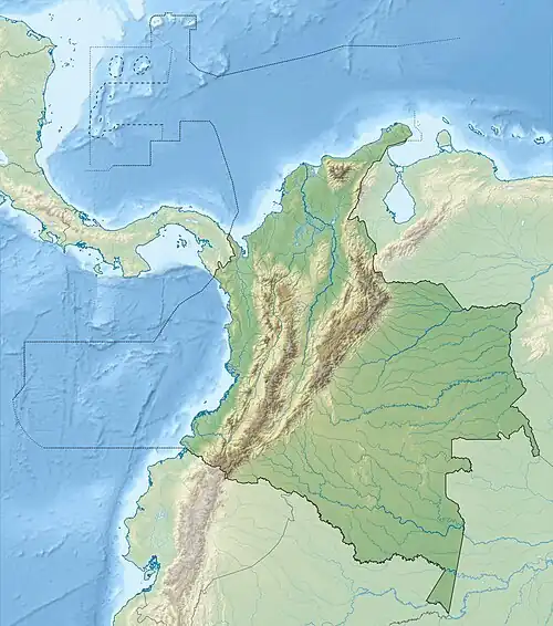
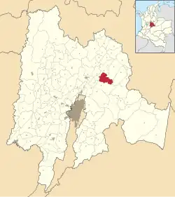 Location of the municipality and town inside Cundinamarca Department of Colombia | |
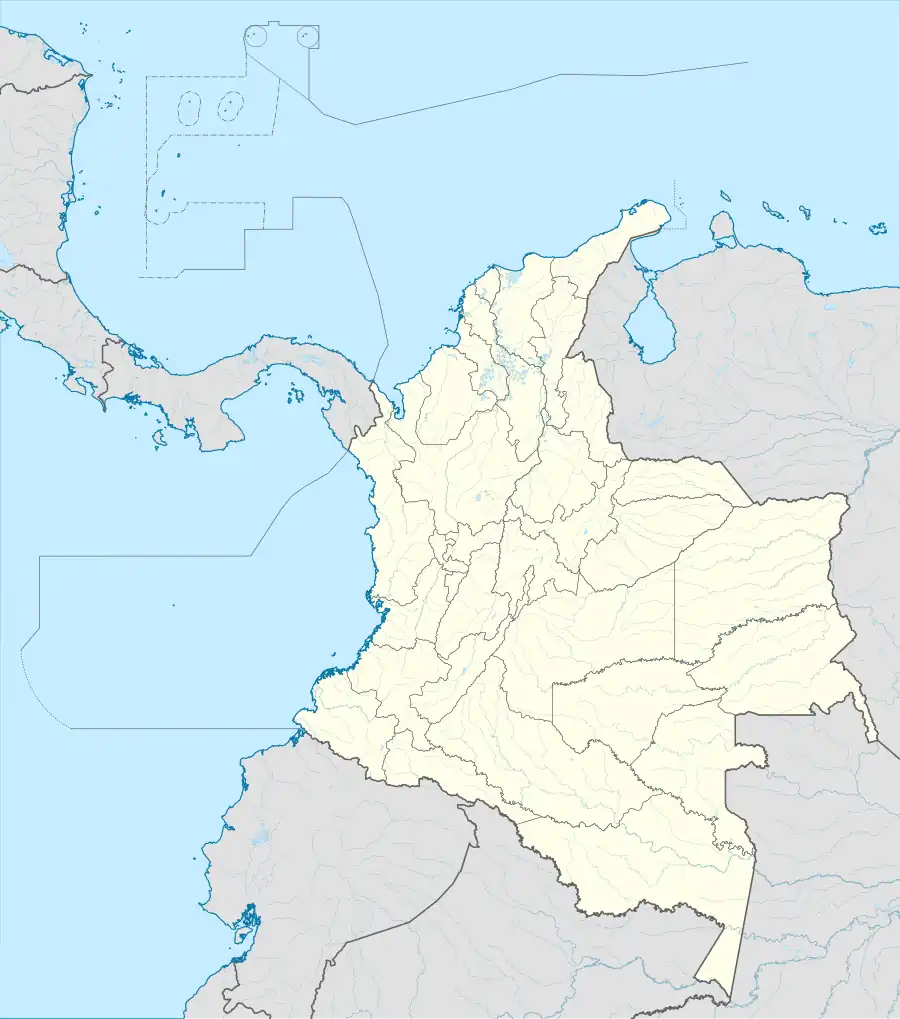 Sesquilé Location in Colombia | |
| Coordinates: 5°2′43″N 73°47′50″W / 5.04528°N 73.79722°W | |
| Country | |
| Department | |
| Province | Almeidas Province |
| Founded | 12 October 1600 |
| Government | |
| • Mayor | Nelson Uriel Robayo López (2016-2019) |
| Area | |
• Municipality and town | 141 km2 (54 sq mi) |
| Elevation | 2,595 m (8,514 ft) |
| Population (2015)[1] | |
• Municipality and town | 13,936 |
| • Density | 99/km2 (260/sq mi) |
| • Urban | 3,468 |
| Time zone | UTC-5 (Colombia Standard Time) |
| Website | Official website |
Sesquilé is a town and municipality in Almeidas Province in the department of Cundinamarca, Colombia. Sesquilé in the Chibcha language of the Muisca means "hot water".[2]
Sesquilé is adjacent to Tominé Reservoir and nearby Lake Guatavita, the suspected site of the El Dorado legend.
Gallery
-
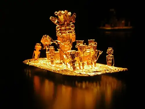 The Muisca raft represents the legend of El Dorado
 -
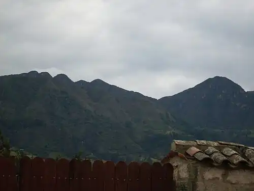 Las Tres Viejas (left) and Cerro de Covandonga (right)
 -
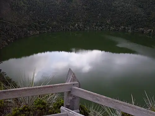 Lake Guatavita
-
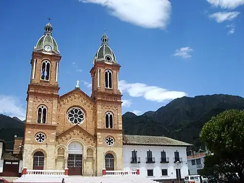 Cathedral of Sesquilé
 -
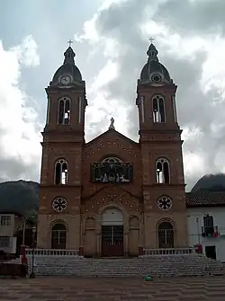 Cathedral
 -
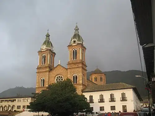 Cathedral
 -
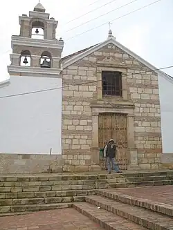 Colonial chapel
References
- ^ (in Spanish) DANE, population Sesquilé
- ^ (in Spanish) Official website Sesquilé - accessed 06-05-2016
External links
Wikimedia Commons has media related to Sesquilé.
| Gold |
|  |
|---|---|---|
| Silver | ||
| Platinum | ||
| Nickel |
| |
| Coltan | ||
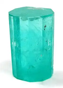
| Emeralds | ||
| Coal | ||
| Salt |
| |
| Sources | ||