Shenkel Island
 USGS aerial imagery of Shenkel Island, with Sargent-Barnhart Tract to the north across the Calaveras River. | |
 Shenkel Island  Shenkel Island  Shenkel Island | |
| Geography | |
|---|---|
| Location | Northern California |
| Coordinates | 37°58′03″N 121°21′40″W / 37.96750°N 121.36111°W[1] |
| Adjacent to | Sacramento–San Joaquin River Delta |
| Highest elevation | 7 ft (2.1 m)[1] |
| Administration | |
United States | |
| State | |
| County | San Joaquin |
Shenkel Island is a small island in the Sacramento–San Joaquin River Delta.[2] It is part of San Joaquin County, California. Its coordinates are 37°58′03″N 121°21′40″W / 37.96750°N 121.36111°W[1], and the United States Geological Survey gives its elevation as 7 ft (2.1 m).[1][3]
References
- ^ a b c d U.S. Geological Survey Geographic Names Information System: Shenkel Island
- ^ "Bids For San Joaquin Work Will Be Opened". The Sacramento Bee. Sacramento, California. 1940-02-19. p. 5.
- ^ United States Geological Survey (2015). "Stockton West Quadrangle, California" (Map). United States Department of the Interior Geological Survey. 1:24000.
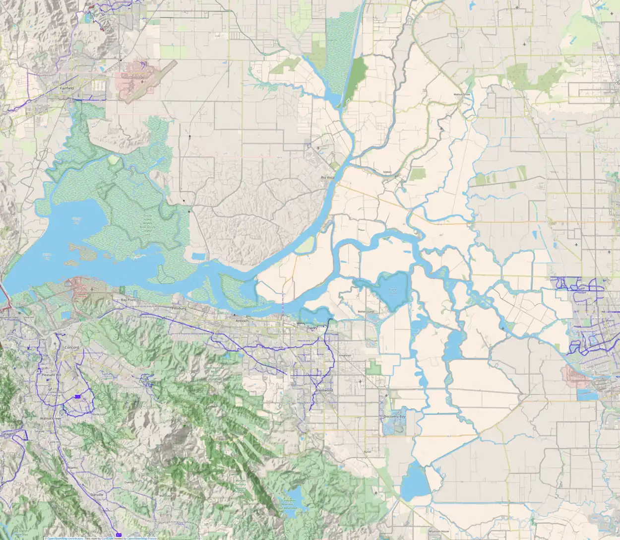
Map: Islands of Suisun Bay and the Sacramento–San Joaquin River Delta | |
|---|---|
(islands of the San Francisco Bay Area) |