Shorterville, Alabama
Shorterville, Alabama | |
|---|---|
 Shorterville  Shorterville | |
| Coordinates: 31°34′13″N 85°06′05″W / 31.57028°N 85.10139°W | |
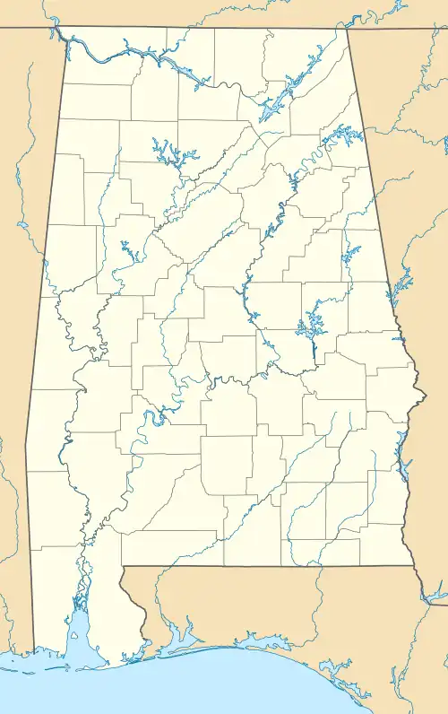
| Country | United States |
| State | Alabama |
| County | Henry |
| Elevation | 420 ft (130 m) |
| Time zone | UTC-6 (Central (CST)) |
| • Summer (DST) | UTC-5 (CDT) |
| ZIP code | 36373 |
| Area code | 334 |
| GNIS feature ID | 126819[1] |
Shorterville is an unincorporated community in Henry County, Alabama, United States. Shorterville is located on Alabama State Route 10, 8.8 miles (14.2 km) east of Abbeville.[2] Shorterville has a post office with ZIP code 36373.[3][4]
Gallery
Below are photographs taken in Shorterville as part of the Historic American Buildings Survey:
-
 Colonel Baldwin M. Fluker House
 -
%252C_Shorterville%252C_Henry_County%252C_AL_HABS_ALA%252C34-SHORV.V%252C2-9.tif.jpg) Barn at Bartlett Smith House
Barn at Bartlett Smith House -
%252C_Shorterville%252C_Henry_County%252C_AL_HABS_ALA%252C34-SHORV.V%252C2-11.tif.jpg) Smoke house at Bartlett Smith House
Smoke house at Bartlett Smith House -
%252C_Shorterville%252C_Henry_County%252C_AL_HABS_ALA%252C34-SHORV.V%252C2-10.tif.jpg) Old shop at Bartlett Smith House
Old shop at Bartlett Smith House -
%252C_Shorterville%252C_Henry_County%252C_AL_HABS_ALA%252C34-SHORV%252C2-1.tif.jpg) Chitley House
Chitley House
References
- ^ "Shorterville". Geographic Names Information System. United States Geological Survey, United States Department of the Interior.
- ^ General Highway Map: Henry County, Alabama (PDF) (Map). Alabama Department of Transportation. 2007. Archived from the original (PDF) on February 21, 2014. Retrieved February 13, 2013.
- ^ United States Postal Service (2012). "USPS - Look Up a ZIP Code". Retrieved February 15, 2012.
- ^ "Postmaster Finder - Post Offices by ZIP Code". United States Postal Service. Archived from the original on October 17, 2020. Retrieved February 13, 2013.
Municipalities and communities of Henry County, Alabama, United States | ||
|---|---|---|
| Cities | 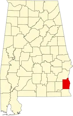 | |
| Towns | ||
| Unincorporated communities | ||
| Footnotes | ‡This populated place also has portions in an adjacent county or counties | |