Silver Lake (Manitoulin Island)
| Silver Lake | |
|---|---|
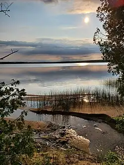 A view of Silver Lake from the southern shore. | |
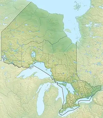 Silver Lake Location in Ontario | |
| Location | Manitoulin Island, Lake Huron |
| Coordinates | 45°52′39″N 82°53′29″W / 45.87756°N 82.89127°W[1] |
| Type | lake |
| Part of | Lake Huron drainage basin |
| Primary inflows | spring-fed |
| Basin countries | Canada |
| Max. length | 4,050 m (13,290 ft)[2] |
| Max. width | 2,690 m (8,830 ft)[2] |
| Surface area | 525 hectares (1,297 acres)[2] |
| Average depth | 10 ft (3.0 m) |
| Max. depth | 21 ft (6.4 m) |
| Surface elevation | 205 metres (673 ft)[3] |
| Frozen | December–April |
| Website | https://www.exploremanitoulin.com/silverwaterlake/ |
Silver Lake is a small lake on Manitoulin Island, in Lake Huron, Northern Ontario, Canada.[1][2]
See also
References
- ^ a b "Silver Lake". Geographical Names Data Base. Natural Resources Canada. Retrieved 2022-04-16.
- ^ a b c d "Toporama (on-line map and search)". Atlas of Canada. Natural Resources Canada. 12 September 2016. Retrieved 2022-04-16.
- ^ "Google Earth". Retrieved 2022-04-16.