Silyap Range
| Silyap Range | |
|---|---|
| Силяпский хребет / Силэп | |
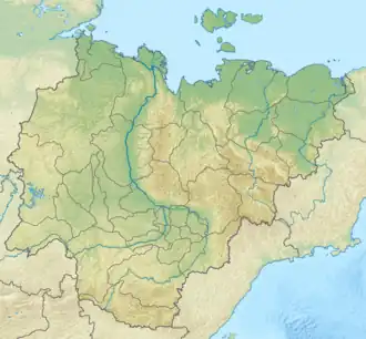 Silyap Range Location in Sakha, Russia | |
| Highest point | |
| Peak | Mount Chyon |
| Elevation | 2,690 m (8,830 ft) |
| Dimensions | |
| Length | 100 km (62 mi) W/E |
| Width | 30 km (19 mi) N/S |
| Geography | |
| Country | Russia |
| Federal subject | Sakha Republic |
| Range coordinates | 65°15′N 141°45′E / 65.250°N 141.750°E |
| Parent range | Chersky Range, East Siberian System |
| Climbing | |
| Easiest route | From Ust-Nera |
The Silyap Range (Russian: Силяпский хребет; Yakut: Силэп) is a mountain range in the Sakha Republic (Yakutia), Far Eastern Federal District, Russia. The nearest city is Ust-Nera.[1]
Geography
The Silyap Range rises in the central area of the Chersky Range, to the west of the upper course of the Indigirka.[2] Although the range is one of the smallest of the system, it has some of the most massive mountains of the range. The Silyap Range stretches in a roughly west–east direction for about 100 kilometers (62 mi). The highest peak is 2,690 metres (8,830 ft) high Mount Chyon (Гора Чён), also known as "Gora Chen", an ultra-prominent peak.[3]
The larger Borong Range, another subrange of the Chersky Mountains, rises to the northwest, and the Porozhny Range to the north. The northern end of the Tas-Kystabyt rises roughly 70 km to the south of the range.[4][5]
.png)