Sinnemahoning, Pennsylvania
Sinnemahoning, Pennsylvania | |
|---|---|
Unincorporated community | |
 PA 120 eastbound in Sinnemahoning | |
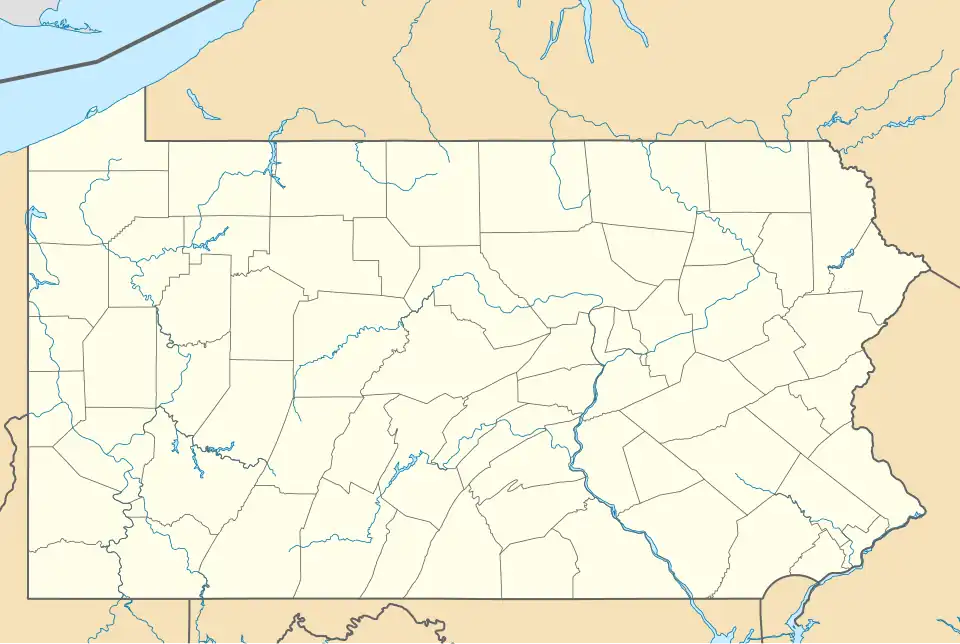 Sinnemahoning  Sinnemahoning | |
| Coordinates: 41°19′09″N 78°05′47″W / 41.31917°N 78.09639°W | |
| Country | United States |
| State | Pennsylvania |
| County | Cameron |
| Township | Gibson, Grove |
| Elevation | 801 ft (244 m) |
| Time zone | UTC-5 (Eastern (EST)) |
| • Summer (DST) | UTC-4 (EDT) |
| ZIP code | 15861 |
| Area code | 814 |
| GNIS feature ID | 1187723[1] |
Sinnemahoning, also known as Sinnamahoning, is an unincorporated community in Cameron County, Pennsylvania, United States.[1] The community is located along Sinnemahoning Creek and Pennsylvania Route 120, 2.4 miles (3.9 km) southeast of Driftwood. Sinnemahoning has a post office with ZIP code 15861.[2][3]
Demographics
| Census | Pop. | Note | %± |
|---|
The United States Census Bureau defined Sinnemahoning as a census designated place (CDP) in 2023.[4]
References
- ^ a b "Sinnemahoning". Geographic Names Information System. United States Geological Survey, United States Department of the Interior.
- ^ United States Postal Service. "USPS - Look Up a ZIP Code". Retrieved April 5, 2015.
- ^ "Postmaster Finder - Post Offices by ZIP Code". United States Postal Service. Retrieved April 5, 2015.
- ^ "2023 Geography Changes". United States Census Bureau.
Municipalities and communities of Cameron County, Pennsylvania, United States | ||
|---|---|---|
| Boroughs |  | |
| Townships | ||
| CDPs | ||
| Unincorporated communities | ||