Sjonbotn
Sjonbotn
Mæla | |
|---|---|
Village | |
 Mæla 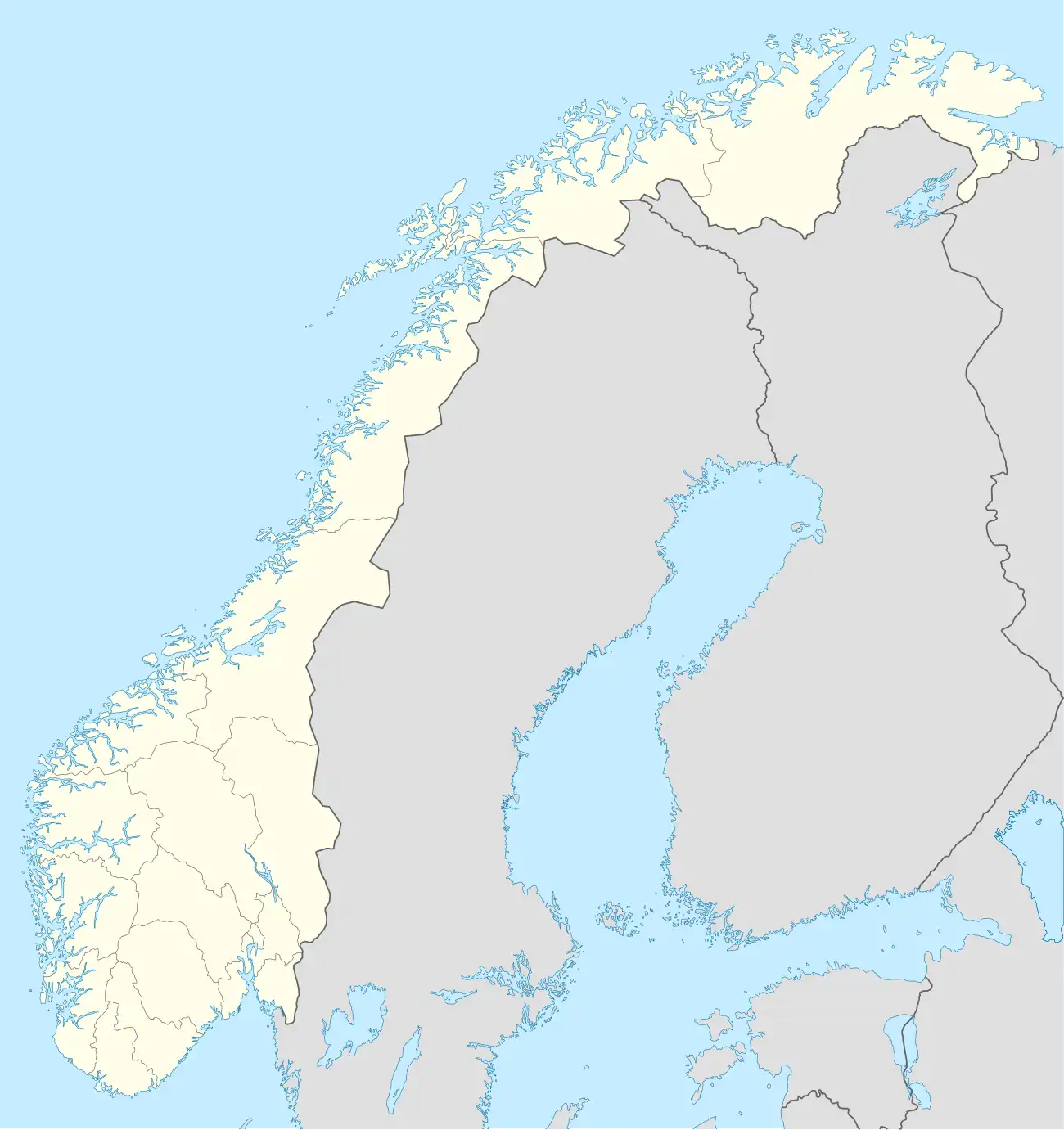 Mæla | |
| Coordinates: 66°18′23″N 13°33′59″E / 66.3063°N 13.5663°E | |
| Country | Norway |
| Region | Northern Norway |
| County | Nordland |
| District | Helgeland |
| Municipality | Rana Municipality |
| Elevation | 5 m (16 ft) |
| Time zone | UTC+01:00 (CET) |
| • Summer (DST) | UTC+02:00 (CEST) |
| Post Code | 8725 Utskarpen |
Sjonbotn[2] is a village in Rana Municipality in Nordland county, Norway. It is located along Norwegian County Road 17 at the eastern end of the Sjona fjord, about 2 kilometres (1.2 mi) north of the villages of Utskarpen and Myklebustad.
The small, rural village area sits at the end of the fjord. There is a large marshy river delta at the shoreline that is known as Mæla,[3] a name that is also used for the village area as well.
The district surrounding the inner part of the Sjona fjord originally belonged to Nesna Municipality. On 1 January 1964, this district (population: 543) was merged with the town of Mo i Rana, Nord-Rana Municipality, and the northern part of Sør-Rana Municipality to create the new Rana Municipality.[4]
References
- ^ "Mæla, Rana (Nordland)". yr.no. Retrieved 2019-02-09.
- ^ "Informasjon om stadnamn Sjonbotn". Norgeskart (in Norwegian). Kartverket. Retrieved 2024-09-28.
- ^ "Informasjon om stadnamn Mæla". Norgeskart (in Norwegian). Kartverket. Retrieved 2024-09-28.
- ^ Jukvam, Dag (1999). "Historisk oversikt over endringer i kommune- og fylkesinndelingen" (PDF) (in Norwegian). Statistisk sentralbyrå. ISBN 9788253746845.