Slaley, Derbyshire
| Slaley | |
|---|---|
 Slaley | |
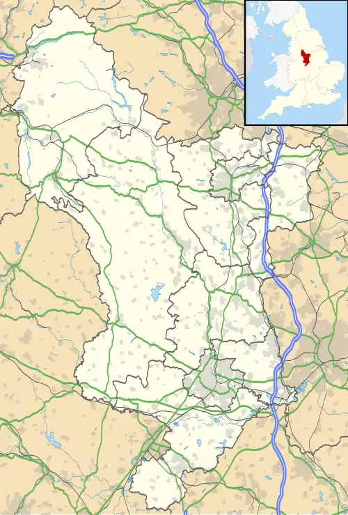 Slaley Location within Derbyshire | |
| Civil parish | |
| District | |
| Shire county | |
| Region | |
| Country | England |
| Sovereign state | United Kingdom |
| Post town | MATLOCK |
| Postcode district | DE4 |
| Dialling code | 01629 |
| Police | Derbyshire |
| Fire | Derbyshire |
| Ambulance | East Midlands |
Slaley is a hamlet in the civil parish of Bonsall, in the Derbyshire Dales district, in the county of Derbyshire, England.[1][2] The hamlet is located to the south of Bonsall and south-west of Matlock within the boundaries of the Peak District National Park.[3][4]
References
- ^ "The Andrews Pages Picture Gallery : Derbyshire, Slaley Lane with Plum Tree Cottage and Hillside Cottage". www.andrewsgen.com. Retrieved 9 September 2023.
- ^ Co, T. Bulmer & (1895). History, Topography, and Directory of Derbyshire: Comprising Its History and Archaeology : a General View of Its Physical and Geological Features, with Separate Historical and Topographical Descriptions of Each Town, Parish, Manor, and Extra-parochial Liberty. Proprietors.
- ^ "#GetOutside: do more in the British Outdoors". OS GetOutside. Retrieved 9 September 2023.
- ^ Glover, Stephen (1829). The History of the County of Derby. publisher.
External links
![]() Media related to Slaley at Wikimedia Commons
Media related to Slaley at Wikimedia Commons