Slavonski Šamac
Slavonski Šamac | |
|---|---|
| Općina Slavonski Šamac Municipality of Slavonski Šamac | |
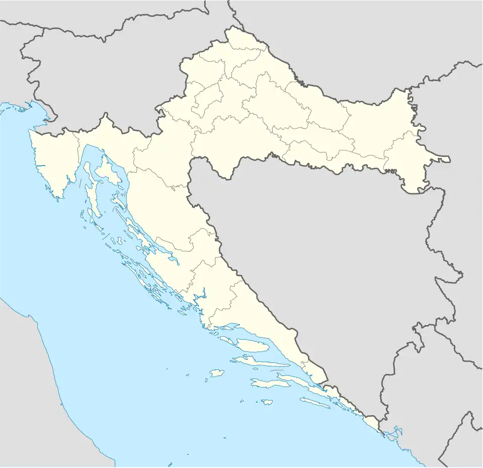 Slavonski Šamac Location of Slavonski Šamac in Croatia | |
| Coordinates: 45°04′N 18°29′E / 45.067°N 18.483°E | |
| Country | |
| County | |
| Government | |
| • Municipal mayor | Branislav Milinović (HDZ) |
| Area | |
| 22.5 km2 (8.7 sq mi) | |
| • Urban | 8.5 km2 (3.3 sq mi) |
| Population (2021)[2] | |
| 1,576 | |
| • Density | 70/km2 (180/sq mi) |
| • Urban | 768 |
| • Urban density | 90/km2 (230/sq mi) |
| Time zone | UTC+1 (CET) |
| • Summer (DST) | UTC+2 (CEST) |
| Postal code[3] | 35220 Slavonski Šamac |
| Area code | 035 |
| Vehicle registration | SB |
| Website | slavonski-samac |
Slavonski Šamac is a village and municipality located on the river Sava in Croatia. It is located in Brod-Posavina county in the region of Slavonia. On the opposite side of the river lies the Bosnian town of Šamac. Slavonski Šamac is located on the D7 road, a part of the European route E73.
Demographics
In 2021, the municipality had 1,576 residents in the following settlements:[2]
- Kruševica, population 808
- Slavonski Šamac, population 768
Slavonski Šamac: Population trends 1857–2021
v
| population | 1173 | 1156 | 1302 | 1452 | 1490 | 1483 | 1437 | 1511 | 1670 | 2673 | 2513 | 2777 | 2762 | 2665 | 2649 | 2169 | 1576 |
| 1857 | 1869 | 1880 | 1890 | 1900 | 1910 | 1921 | 1931 | 1948 | 1953 | 1961 | 1971 | 1981 | 1991 | 2001 | 2011 | 2021 |
Sources:Croatian Bureau of Statistics publications
References
- ^ Register of spatial units of the State Geodetic Administration of the Republic of Croatia. Wikidata Q119585703.
- ^ a b "Population by Age and Sex, by Settlements" (xlsx). Census of Population, Households and Dwellings in 2021. Zagreb: Croatian Bureau of Statistics. 2022.
- ^ List of Croatian settlements and delivery post offices. Wikidata Q125763583.
Subdivisions of Brod-Posavina County | ||
|---|---|---|
| Cities and towns |
|  |
| Municipalities | ||