Slootdorp
Slootdorp | |
|---|---|
Village | |
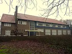 Jewish agricultural training center | |
 Slootdorp Location in the Netherlands 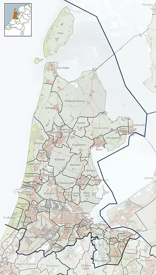 Slootdorp Location in the province of North Holland in the Netherlands | |
| Coordinates: 52°50′32″N 4°58′12″E / 52.84222°N 4.97000°E | |
| Country | Netherlands |
| Province | North Holland |
| Municipality | Hollands Kroon |
| Area | |
• Total | 65.60 km2 (25.33 sq mi) |
| Elevation | −3.2 m (−10.5 ft) |
| Population (2021)[1] | |
• Total | 2,160 |
| • Density | 33/km2 (85/sq mi) |
| Time zone | UTC+1 (CET) |
| • Summer (DST) | UTC+2 (CEST) |
| Postal code | 1774[1] |
| Dialing code | 0227 |
Slootdorp is a village in the Dutch province of North Holland. It is a part of the municipality of Hollands Kroon, and lies about 19 km southeast of Den Helder.
The village is a local hub for farming with a small number of shops. The population has been steadily dwindling. It is serviced by a number of intersecting districts canals. A number of local businesses still use these canals as the main method of transport of goods.
Gallery
-
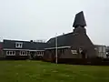 Dutch Reformed church
 -
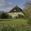 Farm in Slootdorp
 -
 Farm in Slootdorp
References
- ^ a b c "Kerncijfers wijken en buurten 2021". Central Bureau of Statistics. Retrieved 30 April 2022.
- ^ "Postcodetool for 1774AA". Actueel Hoogtebestand Nederland (in Dutch). Het Waterschapshuis. Retrieved 30 April 2022.
Wikimedia Commons has media related to Slootdorp.