Sloughhouse, California
Sloughhouse, California | |
|---|---|
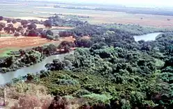 Cosumnes River near Sloughhouse | |
 Sloughhouse, California  Sloughhouse, California | |
| Coordinates: 38°29′45″N 121°11′38″W / 38.49583°N 121.19389°W | |
| Country | United States |
| State | California |
| County | Sacramento |
| Elevation | 102 ft (31 m) |
| Time zone | UTC-8 (Pacific (PST)) |
| • Summer (DST) | UTC-7 (PDT) |
| ZIP code | 95683 |
| Area codes | 916, 279 |
| GNIS feature ID | 1659683[1] |
| Reference no. | 575 |

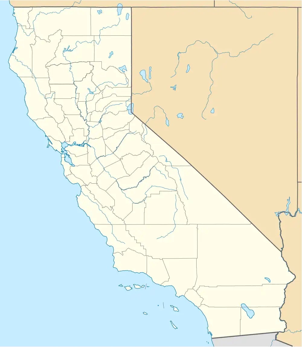
Sloughhouse is an unincorporated community in Sacramento County, California, United States. Sloughhouse is located on California State Route 16, 17 miles (27 km) east-southeast of downtown Sacramento. Sloughhouse has a post office with ZIP code 95683, which was established in 1916.[2] Jared Sheldon, who built a roadhouse, hotel and Stagecoach station, in the community in 1850, named the community after another building he had built nearby. The roadhouse was destroyed by a fire in 1890, but was rebuilt.[3] The site is registered as a California Historical Landmark No. 575.[4][5]
Climate
According to the Köppen Climate Classification system, Sloughhouse has a warm-summer Mediterranean climate, abbreviated "Csa" on climate maps.[6]
References
- ^ U.S. Geological Survey Geographic Names Information System: Sloughhouse, California
- ^ "Free ZIP Code Lookup with area code, county, geocode, MSA/PMSA, population". www.zipinfo.com.
- ^ Durham, David L. (1998). California's Geographic Names: A Gazetteer of Historic and Modern Names of the State. Quill Driver Books. p. 557. ISBN 1-884995-14-4.
- ^ "Sloughhouse". Office of Historic Preservation, California State Parks. Retrieved October 11, 2012.
- ^ "Sloughhouse".
- ^ "Sloughhouse, California Köppen Climate Classification (Weatherbase)". Weatherbase.
Municipalities and communities of Sacramento County, California, United States | ||
|---|---|---|
| Cities | 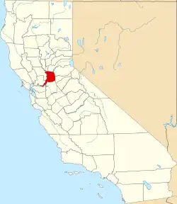 | |
| CDPs | ||
| Unincorporated communities | ||
| Ghost towns | ||