Soldridge
| Soldridge | |
|---|---|
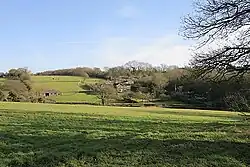 Grosvenor Road seen from Gullet Lane | |
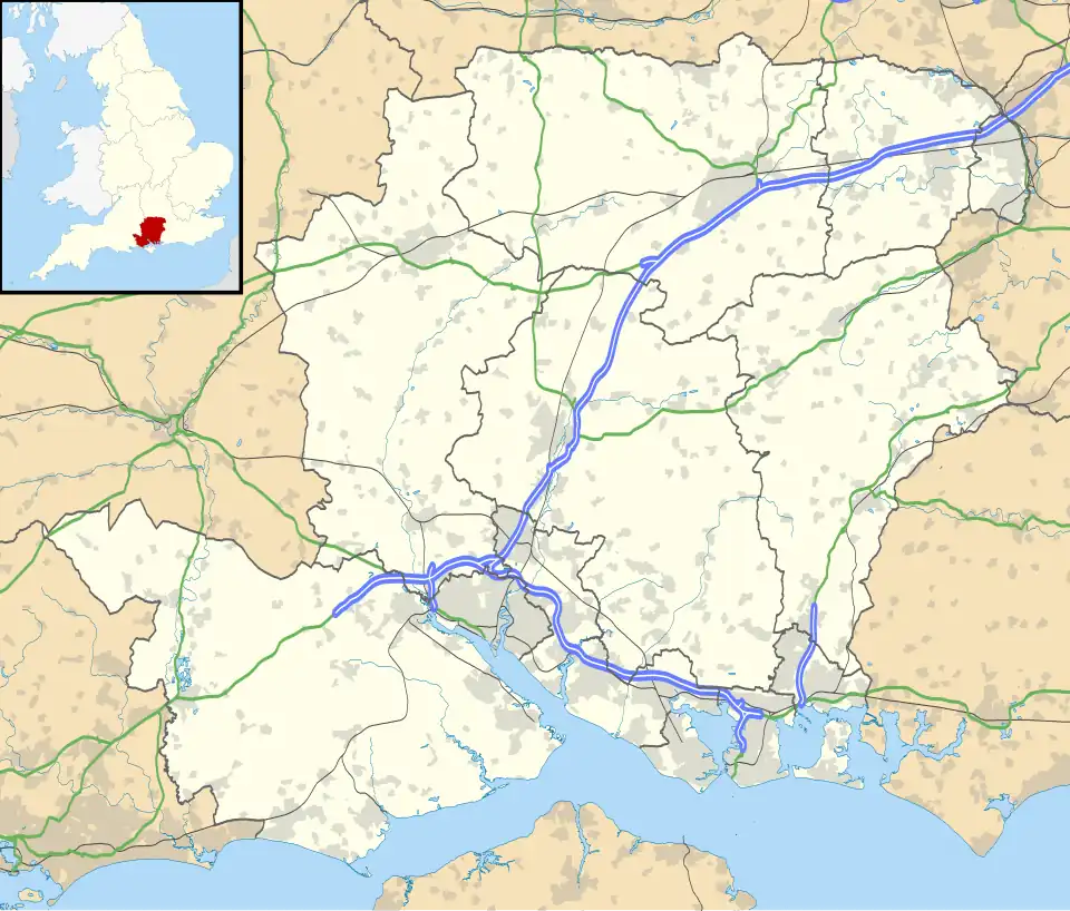 Soldridge Location within Hampshire | |
| OS grid reference | SU652351 |
| Civil parish | |
| District | |
| Shire county | |
| Region | |
| Country | England |
| Sovereign state | United Kingdom |
| Police | Hampshire and Isle of Wight |
| Fire | Hampshire and Isle of Wight |
| Ambulance | South Central |
| UK Parliament | |
Soldridge is a hamlet in the East Hampshire district of Hampshire, England. It is 5 miles (8 km) southwest of Alton, just off the A31 road.
The nearest railway station is the restored Medstead & Four Marks station on the Watercress Line, trains from which connect with the nearest national rail station 5 miles (8 km) to the northeast, at Alton.
History
Soldridge is first mentioned in 1233 as Solrigge[1] meaning the muddy pond on the ridge. It is mentioned frequently throughout medieval documents, in relation to nearby Medstead, as a farm likely stood there.
References
- ^ "Historic environment". hants.gov.uk. Retrieved 6 April 2023.