Somerset, Indiana
Somerset, Indiana | |
|---|---|
 | |
 Location of Somerset in Wabash County, Indiana. | |
| Coordinates: 40°40′10″N 85°49′53″W / 40.66944°N 85.83139°W | |
| Country | United States |
| State | Indiana |
| County | Wabash |
| Township | Waltz |
| Area | |
• Total | 0.82 sq mi (2.13 km2) |
| • Land | 0.68 sq mi (1.76 km2) |
| • Water | 0.14 sq mi (0.37 km2) |
| Elevation | 787 ft (240 m) |
| Population (2020) | |
• Total | 385 |
| • Density | 565.35/sq mi (218.39/km2) |
| Time zone | UTC-5 (Eastern (EST)) |
| • Summer (DST) | UTC-4 (EDT) |
| ZIP code | 46940 |
| FIPS code | 18-70524[3] |
| GNIS feature ID | 2631626[2] |
Somerset is an unincorporated census-designated place in Waltz Township, Wabash County, in the U.S. state of Indiana.[2]
History
The post office at Somerset has been in operation since 1848.[4] An old variant name of the community was called Springfield.[5]
Somerset was relocated when the Mississinewa dam was created. The original Somerset was located near the dam, and is now underwater.
Demographics
| Census | Pop. | Note | %± |
|---|---|---|---|
| 2020 | 385 | — | |
| U.S. Decennial Census[6] | |||
References
- ^ "2020 U.S. Gazetteer Files". United States Census Bureau. Retrieved March 16, 2022.
- ^ a b c U.S. Geological Survey Geographic Names Information System: Somerset, Indiana
- ^ "U.S. Census website". United States Census Bureau. Retrieved January 31, 2008.
- ^ "Wabash County". Jim Forte Postal History. Retrieved July 12, 2016.
- ^ "USGS detail on Somerset - Variant Citation". Retrieved November 1, 2016.
- ^ "Census of Population and Housing". Census.gov. Retrieved June 4, 2016.
Municipalities and communities of Wabash County, Indiana, United States | ||
|---|---|---|
| City | 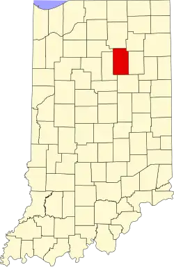 | |
| Towns | ||
| Townships | ||
| CDPs | ||
| Other communities | ||
| Footnotes | ‡This populated place also has portions in an adjacent county or counties | |